
Distance between  Kaingaroa and
  Coal Stream
476.48 mi Straight Distance
639.83 mi Driving Distance
16 hours 37 mins Estimated Driving Time
The straight distance between Kaingaroa (Waikato) and Coal Stream (Canterbury) is 476.48 mi, but the driving distance is 639.83 mi.
It takes 16 hours 37 mins to go from Kaingaroa to Coal Stream.
Driving directions from Kaingaroa to Coal Stream
Distance in kilometers
Straight distance: 766.66 km. Route distance: 1,029.49 km
Kaingaroa, New Zealand
Latitude: -38.6653 // Longitude: 176.457
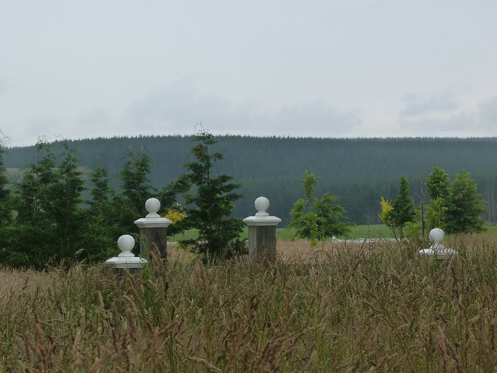
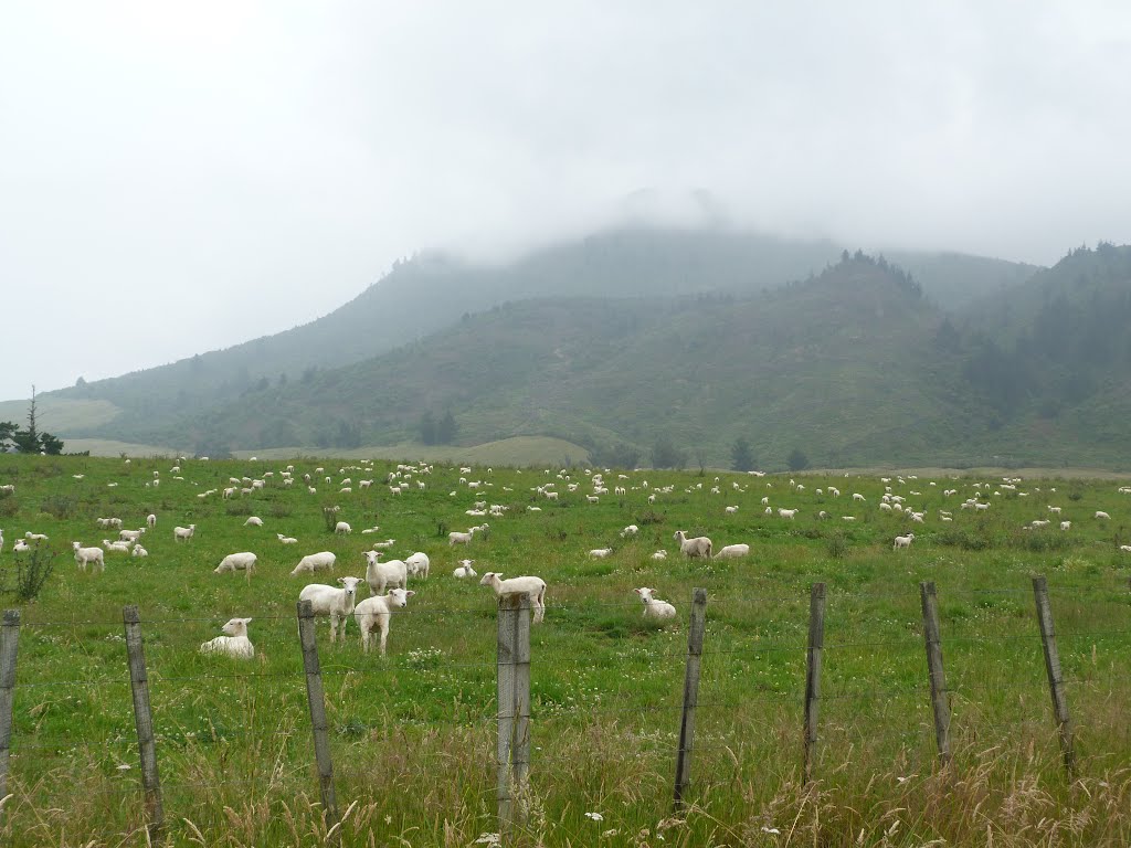
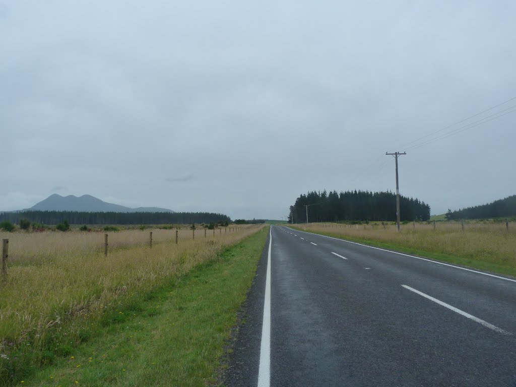
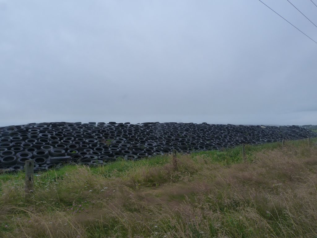
Photos of Kaingaroa


Kaingaroa Weather

Forecast: Clear sky
Temperature: 18.0°
Humidity: 40%
Sun info not available
Coal Stream, New Zealand
Latitude: -44.131 // Longitude: 170.843
Photos of Coal Stream


Coal Stream Weather
Forecast: Clear sky
Temperature: 18.0°
Humidity: 40%
Current time: 09:27 PM
Sunrise: 07:22 AM
Sunset: 08:12 PM


