
Distance between  Jacobs River and
  Dairy Flat
543.56 mi Straight Distance
837.03 mi Driving Distance
20 hours 1 mins Estimated Driving Time
The straight distance between Jacobs River (West Coast) and Dairy Flat (Auckland) is 543.56 mi, but the driving distance is 837.03 mi.
It takes 20 hours 1 mins to go from Jacobs River to Dairy Flat.
Driving directions from Jacobs River to Dairy Flat
Distance in kilometers
Straight distance: 874.59 km. Route distance: 1,346.78 km
Jacobs River, New Zealand
Latitude: -43.5642 // Longitude: 169.682
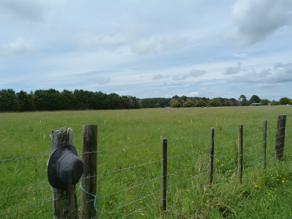
Photos of Jacobs River


Jacobs River Weather

Forecast: Overcast clouds
Temperature: 15.6°
Humidity: 79%
Sun info not available
Dairy Flat, New Zealand
Latitude: -36.6665 // Longitude: 174.639
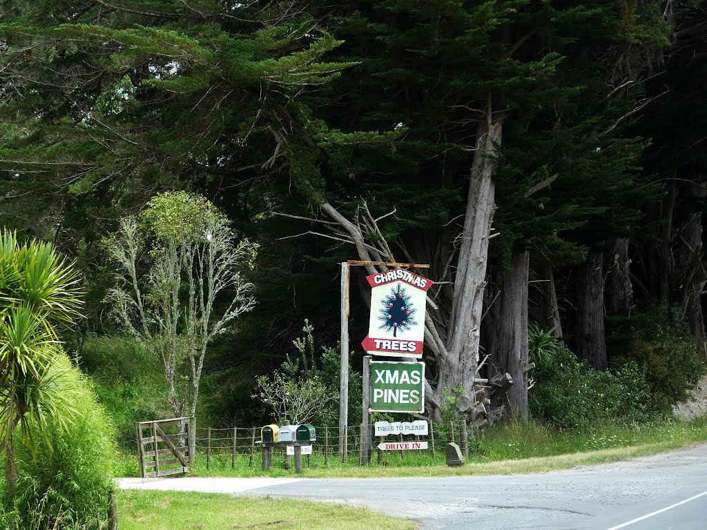
Photos of Dairy Flat


Dairy Flat Weather
Forecast: Broken clouds
Temperature: 25.0°
Humidity: 82%
Current time: 07:56 PM
Sunrise: 07:16 AM
Sunset: 07:45 PM


