
Distance between  Jacobs River and
  Beaumont
156.21 mi Straight Distance
238.21 mi Driving Distance
4 hours 56 mins Estimated Driving Time
The straight distance between Jacobs River (West Coast) and Beaumont (Otago) is 156.21 mi, but the driving distance is 238.21 mi.
It takes 2 hours 1 min to go from Jacobs River to Beaumont.
Driving directions from Jacobs River to Beaumont
Distance in kilometers
Straight distance: 251.34 km. Route distance: 383.29 km
Jacobs River, New Zealand
Latitude: -43.5642 // Longitude: 169.682
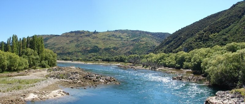
Photos of Jacobs River


Jacobs River Weather

Forecast: Overcast clouds
Temperature: 13.5°
Humidity: 86%
Sun info not available
Beaumont, New Zealand
Latitude: -45.8225 // Longitude: 169.53
Photos of Beaumont


Beaumont Weather

Forecast: Scattered clouds
Temperature: 12.7°
Humidity: 79%
Sun info not available


