
Distance between  Howick and
  Houhora
176.88 mi Straight Distance
231.54 mi Driving Distance
5 hours 10 mins Estimated Driving Time
The straight distance between Howick (Auckland) and Houhora (Northland) is 176.88 mi, but the driving distance is 231.54 mi.
It takes 4 hours 38 mins to go from Howick to Houhora.
Driving directions from Howick to Houhora
Distance in kilometers
Straight distance: 284.61 km. Route distance: 372.54 km
Howick, New Zealand
Latitude: -36.8915 // Longitude: 174.917
Photos of Howick


Howick Weather

Forecast: Broken clouds
Temperature: 15.8°
Humidity: 56%
Current time: 07:39 AM
Sunrise: 07:14 AM
Sunset: 07:45 PM
Houhora, New Zealand
Latitude: -34.7957 // Longitude: 173.103
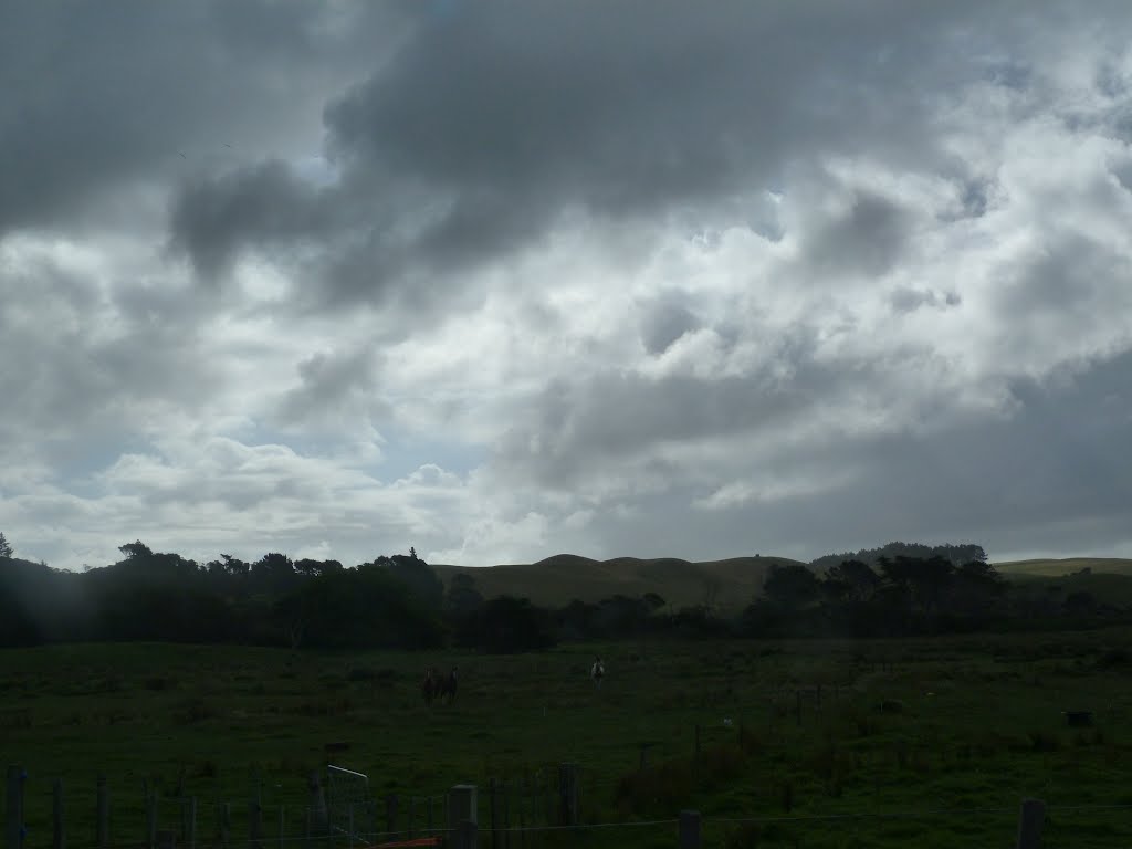
Photos of Houhora


Houhora Weather
Forecast: Overcast clouds
Temperature: 19.3°
Humidity: 91%
Sun info not available


