
Distance between  Houhora and
  Oamaru
720.62 mi Straight Distance
1,038.59 mi Driving Distance
1 days 0 hours Estimated Driving Time
The straight distance between Houhora (Northland) and Oamaru (Otago) is 720.62 mi, but the driving distance is 1,038.59 mi.
It takes 1 days 0 hours to go from Houhora to Oamaru.
Driving directions from Houhora to Oamaru
Distance in kilometers
Straight distance: 1,159.48 km. Route distance: 1,671.10 km
Houhora, New Zealand
Latitude: -34.7957 // Longitude: 173.103
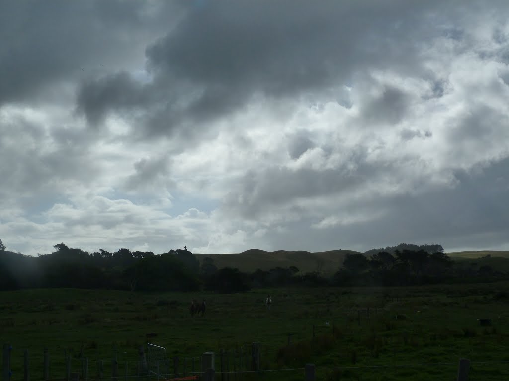
Photos of Houhora


Houhora Weather

Forecast: Overcast clouds
Temperature: 18.2°
Humidity: 77%
Sun info not available
Oamaru, New Zealand
Latitude: -45.0975 // Longitude: 170.97
Photos of Oamaru


")
Oamaru Weather
Forecast: Broken clouds
Temperature: 9.2°
Humidity: 67%
Current time: 09:33 AM
Sunrise: 07:23 AM
Sunset: 08:09 PM


