
Distance between  Houhora and
  Matata
294.63 mi Straight Distance
397.03 mi Driving Distance
8 hours 21 mins Estimated Driving Time
The straight distance between Houhora (Northland) and Matata (Bay of Plenty) is 294.63 mi, but the driving distance is 397.03 mi.
It takes 8 hours 21 mins to go from Houhora to Matata.
Driving directions from Houhora to Matata
Distance in kilometers
Straight distance: 474.06 km. Route distance: 638.82 km
Houhora, New Zealand
Latitude: -34.7957 // Longitude: 173.103
Photos of Houhora


Houhora Weather

Forecast: Scattered clouds
Temperature: 20.9°
Humidity: 95%
Sun info not available
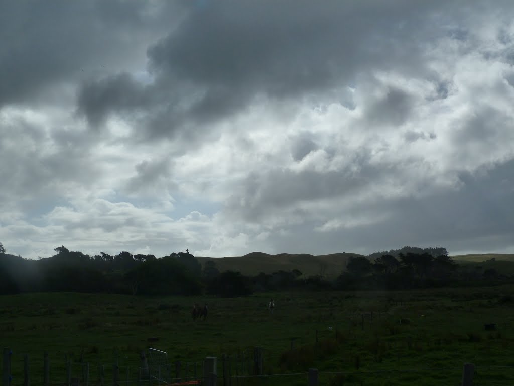
Matata, New Zealand
Latitude: -37.8869 // Longitude: 176.751
Photos of Matata


Matata Weather

Forecast: Overcast clouds
Temperature: 17.9°
Humidity: 96%
Current time: 05:18 AM
Sunrise: 07:07 AM
Sunset: 07:37 PM


