
Distance between  Herekino and
  Taumarunui
274.27 mi Straight Distance
368.11 mi Driving Distance
8 hours 16 mins Estimated Driving Time
The straight distance between Herekino (Northland) and Taumarunui (Manawatu-Wanganui) is 274.27 mi, but the driving distance is 368.11 mi.
It takes to go from Herekino to Taumarunui.
Driving directions from Herekino to Taumarunui
Distance in kilometers
Straight distance: 441.30 km. Route distance: 592.29 km
Herekino, New Zealand
Latitude: -35.2659 // Longitude: 173.211
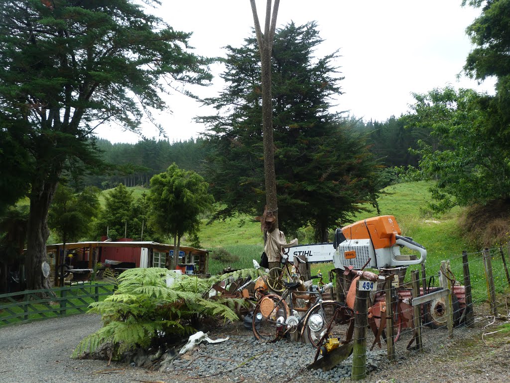
Photos of Herekino


Herekino Weather

Predicción: Cielo claro
Temperatura: 18.0°
Humedad: 40%
Hora actual: 12:00 AM
Amanece: 05:56 PM
Anochece: 07:25 AM
Taumarunui, New Zealand
Latitude: -38.8832 // Longitude: 175.261
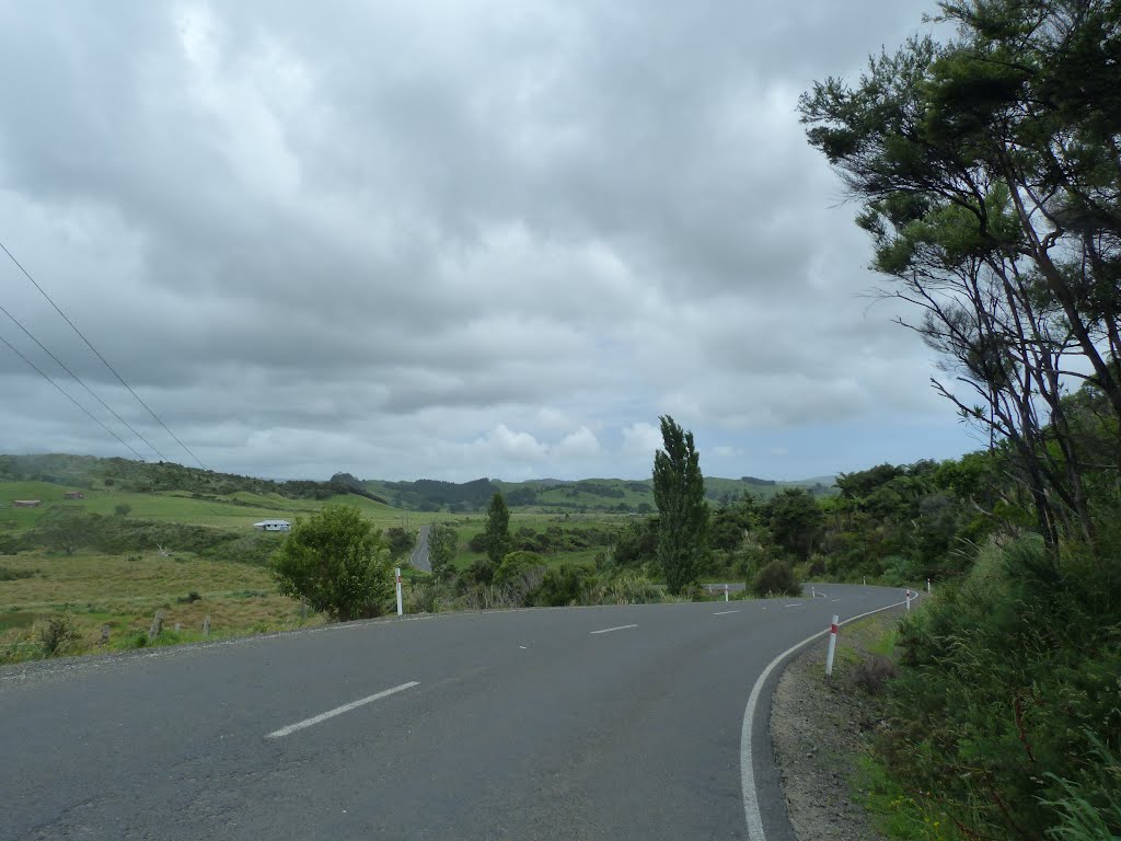
Photos of Taumarunui


Taumarunui Weather
Predicción: Cielo claro
Temperatura: 18.0°
Humedad: 40%
Hora actual: 12:00 AM
Amanece: 05:42 PM
Anochece: 07:23 AM


