
Distance between  Granity and
  St Andrews
203.15 mi Straight Distance
290.90 mi Driving Distance
6 hours 37 mins Estimated Driving Time
The straight distance between Granity (Costa Oeste) and St Andrews (Canterbury) is 203.15 mi, but the driving distance is 290.90 mi.
It takes 6 hours 37 mins to go from Granity to St Andrews.
Driving directions from Granity to St Andrews
Distance in kilometers
Straight distance: 326.87 km. Route distance: 468.06 km
Granity, New Zealand
Latitude: -41.6299 // Longitude: 171.853
Photos of Granity


Granity Weather

Forecast: Light rain
Temperature: 16.8°
Humidity: 98%
Sun info not available
St Andrews, New Zealand
Latitude: -44.5301 // Longitude: 171.191
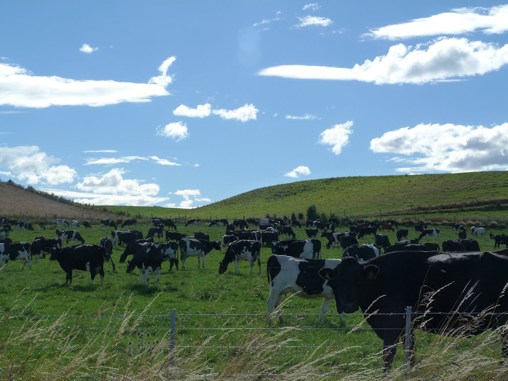
Photos of St Andrews


St Andrews Weather

Forecast: Overcast clouds
Temperature: 13.4°
Humidity: 77%
Sun info not available


