
Distance between  Granity and
  Ngataki
480.32 mi Straight Distance
878.87 mi Driving Distance
21 hours 2 mins Estimated Driving Time
The straight distance between Granity (Costa Oeste) and Ngataki (Northland) is 480.32 mi, but the driving distance is 878.87 mi.
It takes 21 hours 2 mins to go from Granity to Ngataki.
Driving directions from Granity to Ngataki
Distance in kilometers
Straight distance: 772.84 km. Route distance: 1,414.10 km
Granity, New Zealand
Latitude: -41.6299 // Longitude: 171.853
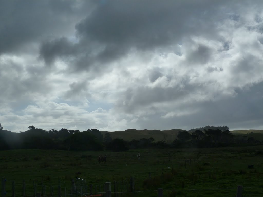
Photos of Granity


Granity Weather

Forecast: Overcast clouds
Temperature: 14.0°
Humidity: 92%
Sun info not available
Ngataki, New Zealand
Latitude: -34.7414 // Longitude: 173.046
Photos of Ngataki


Ngataki Weather

Forecast: Scattered clouds
Temperature: 20.8°
Humidity: 96%
Sun info not available


