
Distance between  Edendale and
  Ahaura
305.76 mi Straight Distance
456.21 mi Driving Distance
9 hours 44 mins Estimated Driving Time
The straight distance between Edendale (Southland) and Ahaura (Costa Oeste) is 305.76 mi, but the driving distance is 456.21 mi.
It takes 9 hours 44 mins to go from Edendale to Ahaura.
Driving directions from Edendale to Ahaura
Distance in kilometers
Straight distance: 491.97 km. Route distance: 734.04 km
Edendale, New Zealand
Latitude: -46.3125 // Longitude: 168.785
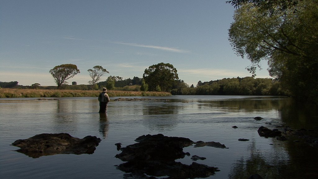
Photos of Edendale


Edendale Weather

Forecast: Overcast clouds
Temperature: 14.3°
Humidity: 63%
Current time: 01:57 AM
Sunrise: 07:35 AM
Sunset: 08:13 PM
Ahaura, New Zealand
Latitude: -42.3494 // Longitude: 171.54
Photos of Ahaura


Ahaura Weather
Forecast: Overcast clouds
Temperature: 12.0°
Humidity: 94%
Current time: 01:57 AM
Sunrise: 07:26 AM
Sunset: 08:00 PM


