
Distance between  Dobson and
  Wainuiomata
204.26 mi Straight Distance
287.54 mi Driving Distance
8 hours 34 mins Estimated Driving Time
The straight distance between Dobson (Costa Oeste) and Wainuiomata (Wellington) is 204.26 mi, but the driving distance is 287.54 mi.
It takes 8 hours 34 mins to go from Dobson to Wainuiomata.
Driving directions from Dobson to Wainuiomata
Distance in kilometers
Straight distance: 328.66 km. Route distance: 462.65 km
Dobson, New Zealand
Latitude: -42.4494 // Longitude: 171.312
Photos of Dobson


Dobson Weather

Forecast: Overcast clouds
Temperature: 11.7°
Humidity: 94%
Current time: 10:40 AM
Sunrise: 07:27 AM
Sunset: 08:01 PM
Wainuiomata, New Zealand
Latitude: -41.2743 // Longitude: 174.955
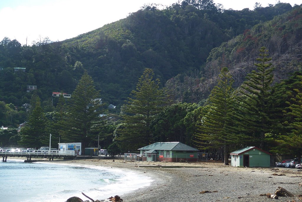
Photos of Wainuiomata


Wainuiomata Weather
Forecast: Broken clouds
Temperature: 16.1°
Humidity: 95%
Current time: 10:40 AM
Sunrise: 07:13 AM
Sunset: 07:46 PM


