
Distance between  Dobson and
  Te Wera
278.71 mi Straight Distance
487.30 mi Driving Distance
12 hours 52 mins Estimated Driving Time
The straight distance between Dobson (Costa Oeste) and Te Wera (Taranaki) is 278.71 mi, but the driving distance is 487.30 mi.
It takes 12 hours 52 mins to go from Dobson to Te Wera.
Driving directions from Dobson to Te Wera
Distance in kilometers
Straight distance: 448.45 km. Route distance: 784.06 km
Dobson, New Zealand
Latitude: -42.4494 // Longitude: 171.312
Photos of Dobson


Dobson Weather

Forecast: Broken clouds
Temperature: 10.2°
Humidity: 93%
Current time: 02:24 AM
Sunrise: 07:26 AM
Sunset: 08:03 PM
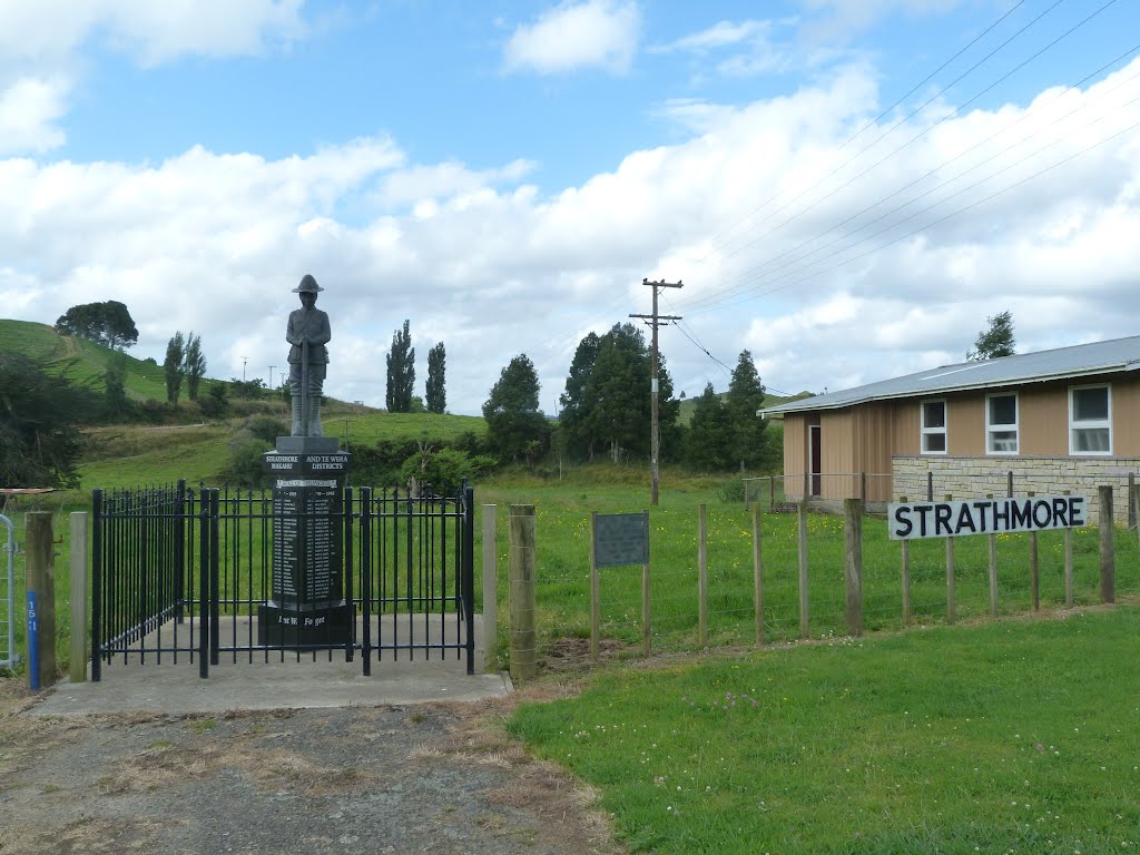
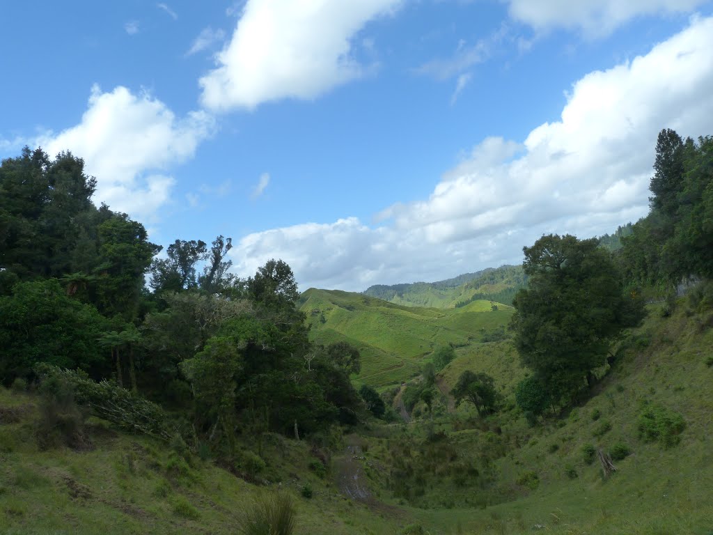
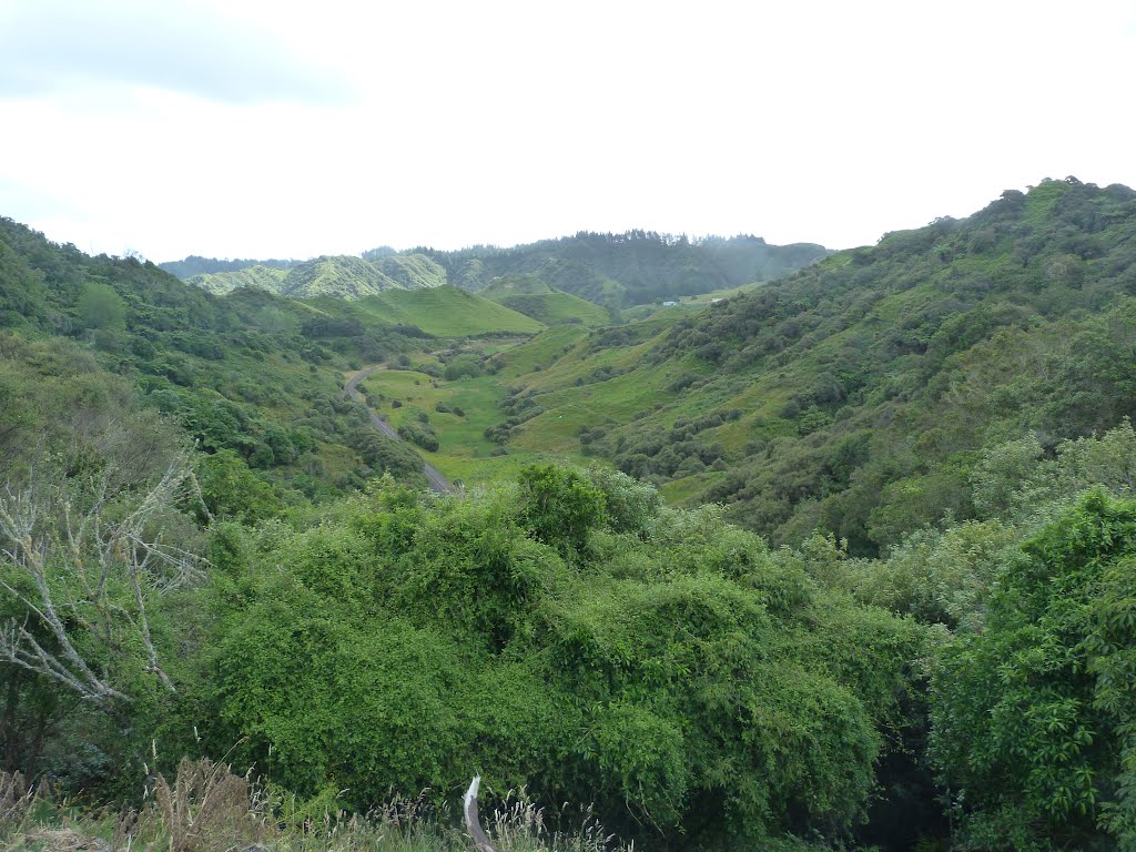
Te Wera, New Zealand
Latitude: -39.2532 // Longitude: 174.567
Photos of Te Wera


Te Wera Weather
Forecast: Overcast clouds
Temperature: 13.4°
Humidity: 83%
Sun info not available


