
Distance between  Dargaville and
  Temuka
589.86 mi Straight Distance
862.27 mi Driving Distance
20 hours 45 mins Estimated Driving Time
The straight distance between Dargaville (Northland) and Temuka (Canterbury) is 589.86 mi, but the driving distance is 862.27 mi.
It takes to go from Dargaville to Temuka.
Driving directions from Dargaville to Temuka
Distance in kilometers
Straight distance: 949.09 km. Route distance: 1,387.39 km
Dargaville, New Zealand
Latitude: -35.9401 // Longitude: 173.869
Photos of Dargaville


Dargaville Weather

Forecast: Clear sky
Temperature: 18.0°
Humidity: 40%
Current time: 01:04 PM
Sunrise: 07:13 AM
Sunset: 07:58 PM
Temuka, New Zealand
Latitude: -44.2453 // Longitude: 171.278
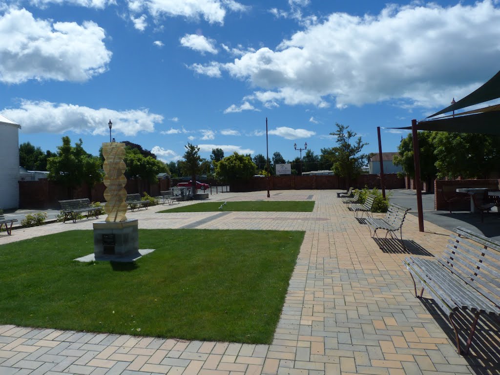
Photos of Temuka


Temuka Weather
Forecast: Clear sky
Temperature: 18.0°
Humidity: 40%
Current time: 01:04 PM
Sunrise: 07:17 AM
Sunset: 08:14 PM


