
Distance between  Dargaville and
  Edendale
763.52 mi Straight Distance
1,099.92 mi Driving Distance
1 day 2 hours Estimated Driving Time
The straight distance between Dargaville (Northland) and Edendale (Southland) is 763.52 mi, but the driving distance is 1,099.92 mi.
It takes 1 day 2 hours to go from Dargaville to Edendale.
Driving directions from Dargaville to Edendale
Distance in kilometers
Straight distance: 1,228.51 km. Route distance: 1,769.77 km
Dargaville, New Zealand
Latitude: -35.9401 // Longitude: 173.869
Photos of Dargaville


Dargaville Weather

Forecast: Clear sky
Temperature: 15.0°
Humidity: 78%
Current time: 03:12 AM
Sunrise: 07:15 AM
Sunset: 07:55 PM
Edendale, New Zealand
Latitude: -46.3125 // Longitude: 168.785
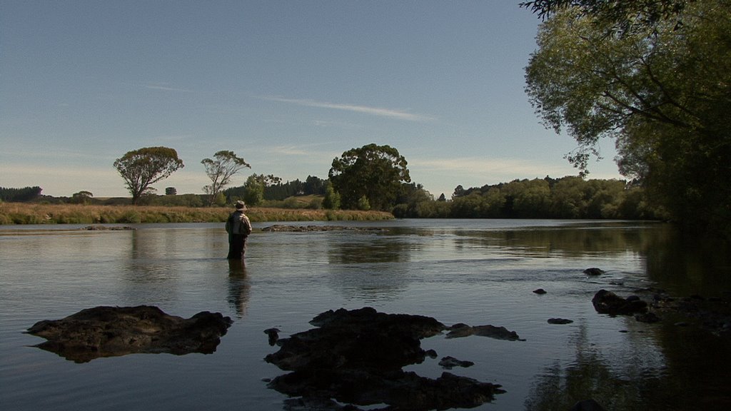
Photos of Edendale


Edendale Weather
Forecast: Clear sky
Temperature: 18.0°
Humidity: 40%
Current time: 03:12 AM
Sunrise: 07:28 AM
Sunset: 08:22 PM


