
Distance between  Dairy Flat and
  Matata
143.50 mi Straight Distance
194.64 mi Driving Distance
3 hours 58 mins Estimated Driving Time
The straight distance between Dairy Flat (Auckland) and Matata (Bay of Plenty) is 143.50 mi, but the driving distance is 194.64 mi.
It takes 3 hours 58 mins to go from Dairy Flat to Matata.
Driving directions from Dairy Flat to Matata
Distance in kilometers
Straight distance: 230.88 km. Route distance: 313.17 km
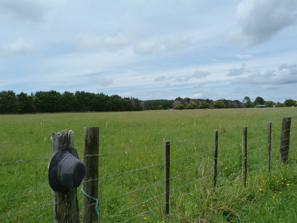
Dairy Flat, New Zealand
Latitude: -36.6665 // Longitude: 174.639
Photos of Dairy Flat


Dairy Flat Weather

Forecast: Overcast clouds
Temperature: 19.9°
Humidity: 89%
Current time: 05:45 AM
Sunrise: 07:16 AM
Sunset: 07:45 PM
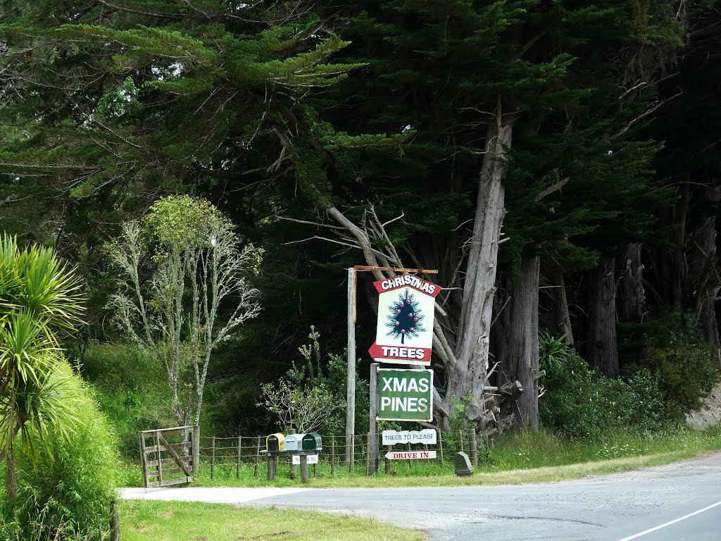
Matata, New Zealand
Latitude: -37.8869 // Longitude: 176.751
Photos of Matata


Matata Weather
Forecast: Overcast clouds
Temperature: 17.9°
Humidity: 96%
Current time: 05:45 AM
Sunrise: 07:07 AM
Sunset: 07:37 PM


