
Distance between  Benhar and
  Edendale
48.58 mi Straight Distance
57.96 mi Driving Distance
1 hour 20 mins Estimated Driving Time
The straight distance between Benhar (Otago) and Edendale (Southland) is 48.58 mi, but the driving distance is 57.96 mi.
It takes to go from Benhar to Edendale.
Driving directions from Benhar to Edendale
Distance in kilometers
Straight distance: 78.16 km. Route distance: 93.25 km
Benhar, New Zealand
Latitude: -46.2243 // Longitude: 169.794
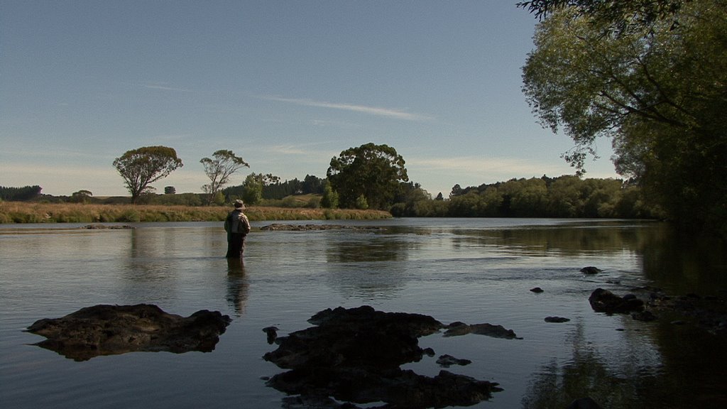
Photos of Benhar
")


 - NZ")


Benhar Weather

Forecast: Clear sky
Temperature: 8.6°
Humidity: 96%
Current time: 01:38 AM
Sunrise: 07:08 AM
Sunset: 08:39 PM
Edendale, New Zealand
Latitude: -46.3125 // Longitude: 168.785
Photos of Edendale


Edendale Weather

Forecast: Scattered clouds
Temperature: 7.5°
Humidity: 90%
Current time: 01:38 AM
Sunrise: 07:12 AM
Sunset: 08:43 PM


