
Distance between  Beaumont and
  Jacobs River
156.21 mi Straight Distance
238.19 mi Driving Distance
4 hours 56 mins Estimated Driving Time
The straight distance between Beaumont (Otago) and Jacobs River (West Coast) is 156.21 mi, but the driving distance is 238.19 mi.
It takes to go from Beaumont to Jacobs River.
Driving directions from Beaumont to Jacobs River
Distance in kilometers
Straight distance: 251.34 km. Route distance: 383.25 km
Beaumont, New Zealand
Latitude: -45.8225 // Longitude: 169.53
Photos of Beaumont


Beaumont Weather

Forecast: Clear sky
Temperature: 18.0°
Humidity: 40%
Current time: 12:00 AM
Sunrise: 06:20 PM
Sunset: 07:27 AM
Jacobs River, New Zealand
Latitude: -43.5642 // Longitude: 169.682
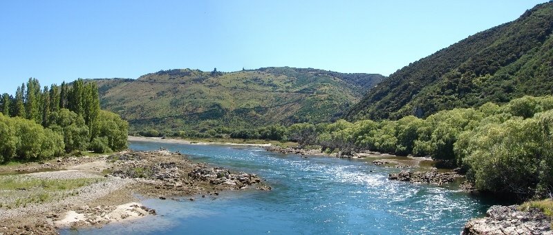
Photos of Jacobs River


Jacobs River Weather
Forecast: Clear sky
Temperature: 18.0°
Humidity: 40%
Current time: 12:00 AM
Sunrise: 06:21 PM
Sunset: 07:24 AM


