
Distance between  Beaumont and
  Ashhurst
494.22 mi Straight Distance
655.67 mi Driving Distance
16 hours 47 mins Estimated Driving Time
The straight distance between Beaumont (Otago) and Ashhurst (Manawatu-Wanganui) is 494.22 mi, but the driving distance is 655.67 mi.
It takes 15 hours 31 mins to go from Beaumont to Ashhurst.
Driving directions from Beaumont to Ashhurst
Distance in kilometers
Straight distance: 795.20 km. Route distance: 1,054.97 km
Beaumont, New Zealand
Latitude: -45.8225 // Longitude: 169.53
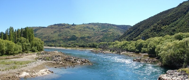
Photos of Beaumont


Beaumont Weather

Forecast: Scattered clouds
Temperature: 14.1°
Humidity: 52%
Current time: 12:00 AM
Sunrise: 06:05 PM
Sunset: 07:44 AM
Ashhurst, New Zealand
Latitude: -40.2946 // Longitude: 175.753
Photos of Ashhurst
 Ashhurst")


Ashhurst Weather

Forecast: Overcast clouds
Temperature: 14.4°
Humidity: 76%
Current time: 04:23 PM
Sunrise: 06:49 AM
Sunset: 08:11 PM


