
Distance between  Arapohue and
  Waitara
208.97 mi Straight Distance
317 mi Driving Distance
6 hours 52 mins Estimated Driving Time
The straight distance between Arapohue (Northland) and Waitara (Taranaki) is 208.97 mi, but the driving distance is 317 mi.
It takes to go from Arapohue to Waitara.
Driving directions from Arapohue to Waitara
Distance in kilometers
Straight distance: 336.23 km. Route distance: 510.05 km
Arapohue, New Zealand
Latitude: -35.9848 // Longitude: 173.958
Photos of Arapohue


Arapohue Weather

Forecast: Clear sky
Temperature: 18.0°
Humidity: 40%
Current time: 11:41 PM
Sunrise: 07:11 AM
Sunset: 08:00 PM
Waitara, New Zealand
Latitude: -39.0011 // Longitude: 174.238
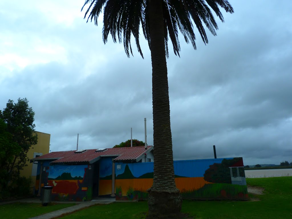
Photos of Waitara
 - side road near Tikorangi")


Waitara Weather
Forecast: Clear sky
Temperature: 18.0°
Humidity: 40%
Current time: 11:41 PM
Sunrise: 07:07 AM
Sunset: 08:01 PM


