
Distance between  Aranga and
  Taumarunui
235.22 mi Straight Distance
305.11 mi Driving Distance
6 hours 28 mins Estimated Driving Time
The straight distance between Aranga (Northland) and Taumarunui (Manawatu-Wanganui) is 235.22 mi, but the driving distance is 305.11 mi.
It takes to go from Aranga to Taumarunui.
Driving directions from Aranga to Taumarunui
Distance in kilometers
Straight distance: 378.47 km. Route distance: 490.91 km
Aranga, New Zealand
Latitude: -35.7407 // Longitude: 173.614
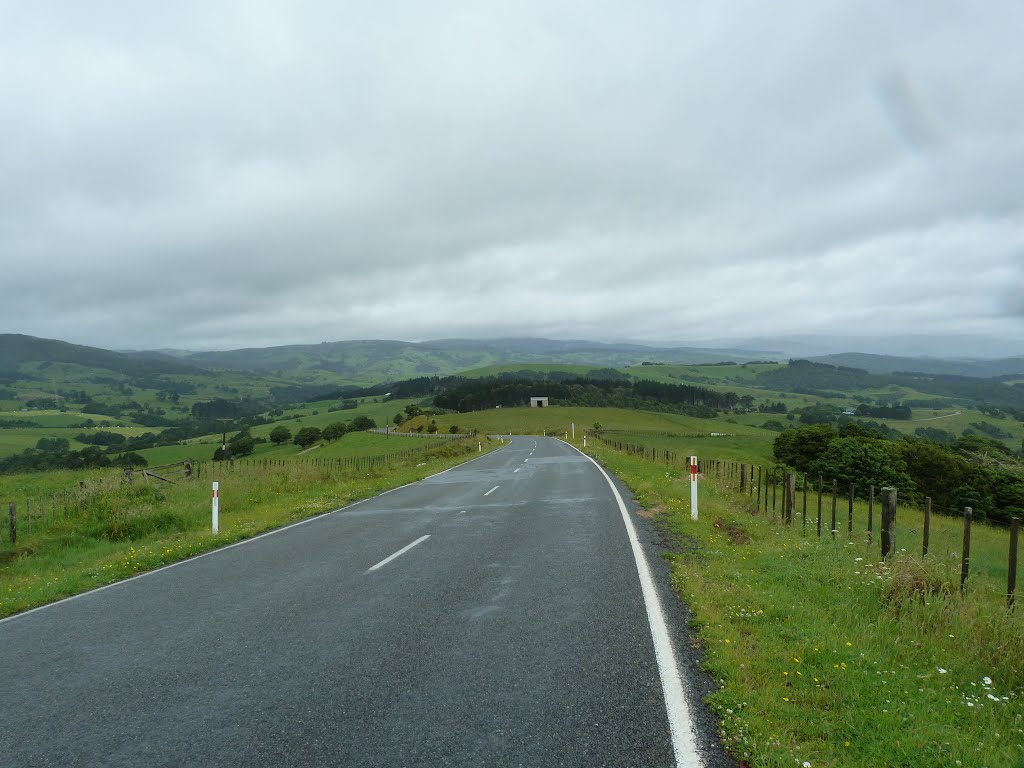
Photos of Aranga


Aranga Weather

Forecast: Scattered clouds
Temperature: 18.8°
Humidity: 62%
Current time: 12:00 AM
Sunrise: 06:00 PM
Sunset: 07:18 AM
Taumarunui, New Zealand
Latitude: -38.8832 // Longitude: 175.261
Photos of Taumarunui


Taumarunui Weather

Forecast: Overcast clouds
Temperature: 17.1°
Humidity: 86%
Current time: 12:00 AM
Sunrise: 05:49 PM
Sunset: 07:15 AM


