
Distance between  Whitianga and
  Whangarei Heads
96.25 mi Straight Distance
253.86 mi Driving Distance
4 hours 39 mins Estimated Driving Time
The straight distance between Whitianga (Waikato) and Whangarei Heads (Northland) is 96.25 mi, but the driving distance is 253.86 mi.
It takes 4 hours 44 mins to go from Whitianga to Whangarei Heads.
Driving directions from Whitianga to Whangarei Heads
Distance in kilometers
Straight distance: 154.87 km. Route distance: 408.46 km
Whitianga, New Zealand
Latitude: -36.8218 // Longitude: 175.7
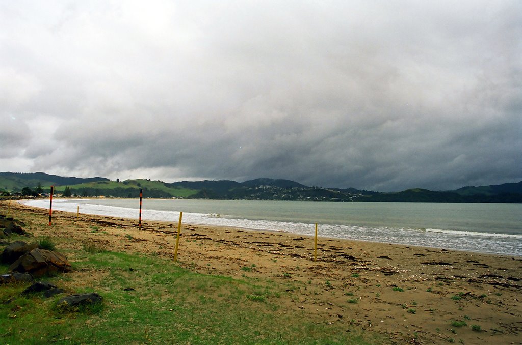
Photos of Whitianga


Whitianga Weather

Predicción: Light rain
Temperatura: 17.7°
Humedad: 84%
Hora actual: 11:09 AM
Amanece: 06:46 AM
Anochece: 05:46 PM
Whangarei Heads, New Zealand
Latitude: -35.815 // Longitude: 174.505
Photos of Whangarei Heads


Whangarei Heads Weather

Predicción: Overcast clouds
Temperatura: 20.8°
Humedad: 65%
Hora actual: 11:09 AM
Amanece: 06:49 AM
Anochece: 05:52 PM


