
Distance between  Waitahanui and
  Normanby
109.65 mi Straight Distance
171.86 mi Driving Distance
3 hours 15 mins Estimated Driving Time
The straight distance between Waitahanui (Waikato) and Normanby (Taranaki) is 109.65 mi, but the driving distance is 171.86 mi.
It takes to go from Waitahanui to Normanby.
Driving directions from Waitahanui to Normanby
Distance in kilometers
Straight distance: 176.43 km. Route distance: 276.52 km
Waitahanui, New Zealand
Latitude: -38.7886 // Longitude: 176.077
Photos of Waitahanui


 - Taupo Airport (TUO), North Island, New Zealand.")

Waitahanui Weather

Predicción: Broken clouds
Temperatura: 16.0°
Humedad: 64%
Hora actual: 11:35 AM
Amanece: 06:47 AM
Anochece: 05:42 PM
Normanby, New Zealand
Latitude: -39.5399 // Longitude: 174.274
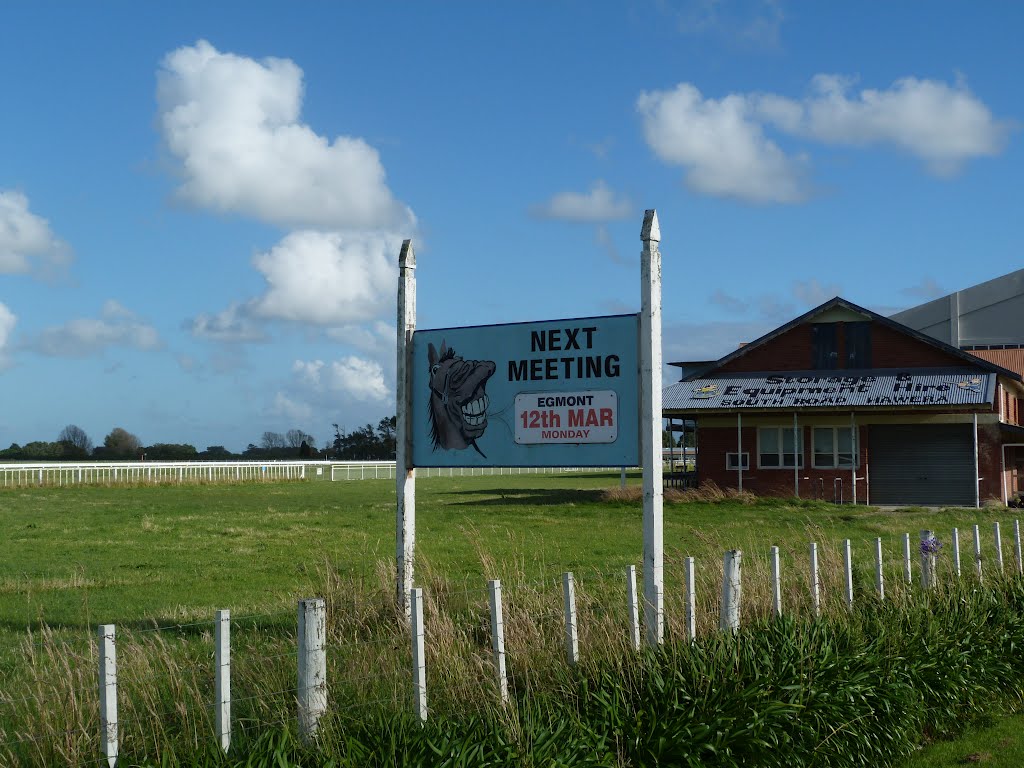
Photos of Normanby


Normanby Weather
Predicción: Broken clouds
Temperatura: 18.4°
Humedad: 57%
Hora actual: 11:35 AM
Amanece: 06:55 AM
Anochece: 05:48 PM


