
Distance between  Waiotira and
  Umawera
57.11 mi Straight Distance
88.60 mi Driving Distance
1 hour 41 mins Estimated Driving Time
The straight distance between Waiotira (Northland) and Umawera (Northland) is 57.11 mi, but the driving distance is 88.60 mi.
It takes 1 hour 47 mins to go from Waiotira to Umawera.
Driving directions from Waiotira to Umawera
Distance in kilometers
Straight distance: 91.90 km. Route distance: 142.55 km
Waiotira, New Zealand
Latitude: -35.9357 // Longitude: 174.202
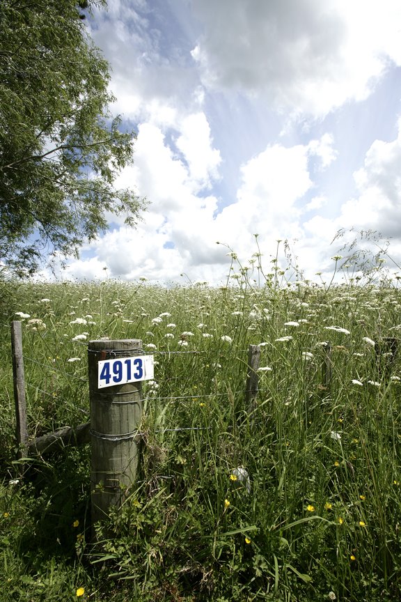
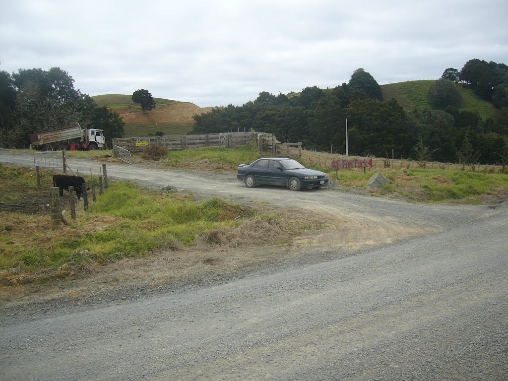
Photos of Waiotira


Waiotira Weather

Predicción: Clear sky
Temperatura: 11.2°
Humedad: 100%
Hora actual: 12:00 AM
Amanece: 06:50 PM
Anochece: 05:54 AM
Umawera, New Zealand
Latitude: -35.2856 // Longitude: 173.574
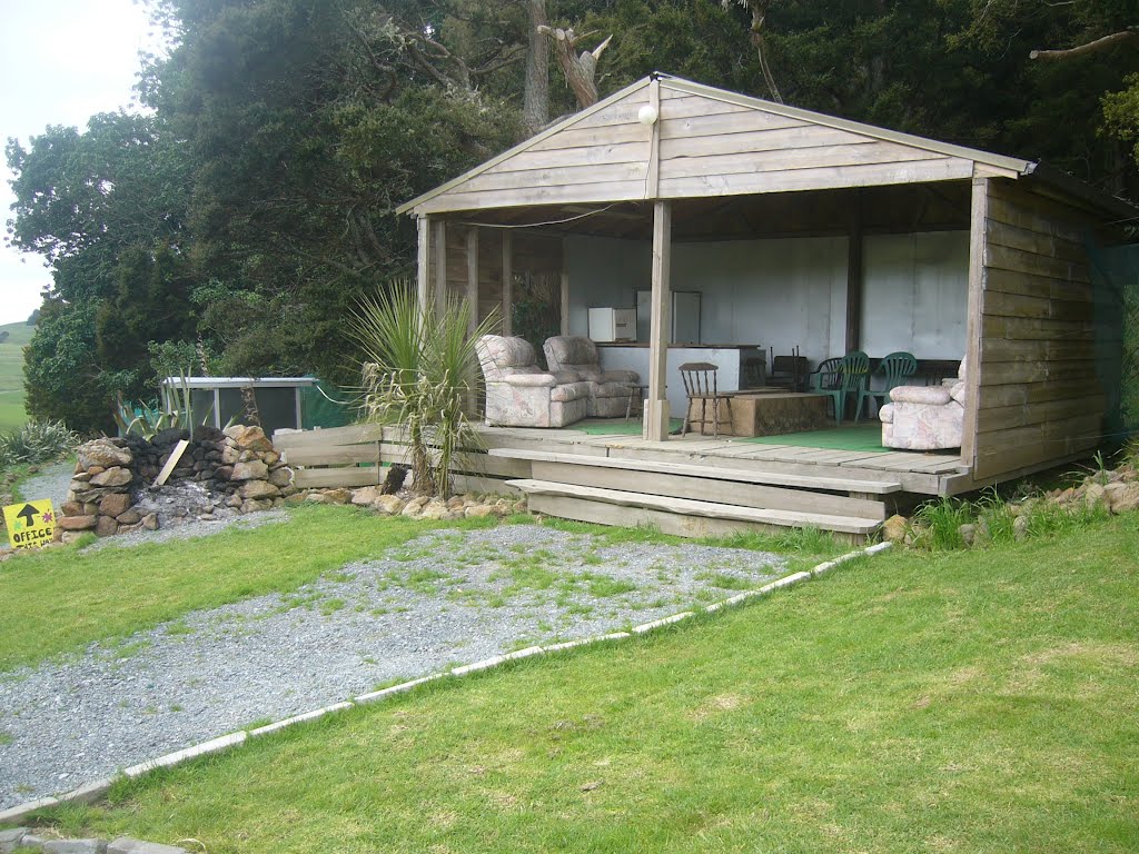
Photos of Umawera


Umawera Weather

Predicción: Few clouds
Temperatura: 16.5°
Humedad: 100%
Hora actual: 12:00 AM
Amanece: 06:52 PM
Anochece: 05:57 AM


