
Distance between  Wainuiomata and
  Te Kao
469.91 mi Straight Distance
636.68 mi Driving Distance
11 hours 15 mins Estimated Driving Time
The straight distance between Wainuiomata (Wellington) and Te Kao (Northland) is 469.91 mi, but the driving distance is 636.68 mi.
It takes to go from Wainuiomata to Te Kao.
Driving directions from Wainuiomata to Te Kao
Distance in kilometers
Straight distance: 756.09 km. Route distance: 1,024.41 km
Wainuiomata, New Zealand
Latitude: -41.2743 // Longitude: 174.955
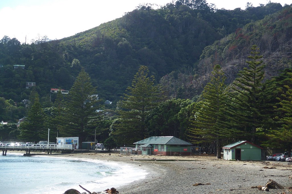
Photos of Wainuiomata


Wainuiomata Weather

Predicción: Broken clouds
Temperatura: 14.3°
Humedad: 84%
Hora actual: 04:57 AM
Amanece: 06:52 AM
Anochece: 05:46 PM
Te Kao, New Zealand
Latitude: -34.6553 // Longitude: 172.969
Photos of Te Kao


Te Kao Weather

Predicción: Few clouds
Temperatura: 15.3°
Humedad: 88%
Hora actual: 12:00 PM
Amanece: 06:53 AM
Anochece: 06:02 PM


