
Distance between  Waiharara and
  Te Anau
777.86 mi Straight Distance
1,271.68 mi Driving Distance
1 days 0 hours Estimated Driving Time
The straight distance between Waiharara (Northland) and Te Anau (Southland) is 777.86 mi, but the driving distance is 1,271.68 mi.
It takes to go from Waiharara to Te Anau.
Driving directions from Waiharara to Te Anau
Distance in kilometers
Straight distance: 1,251.58 km. Route distance: 2,046.14 km
Waiharara, New Zealand
Latitude: -34.9534 // Longitude: 173.189
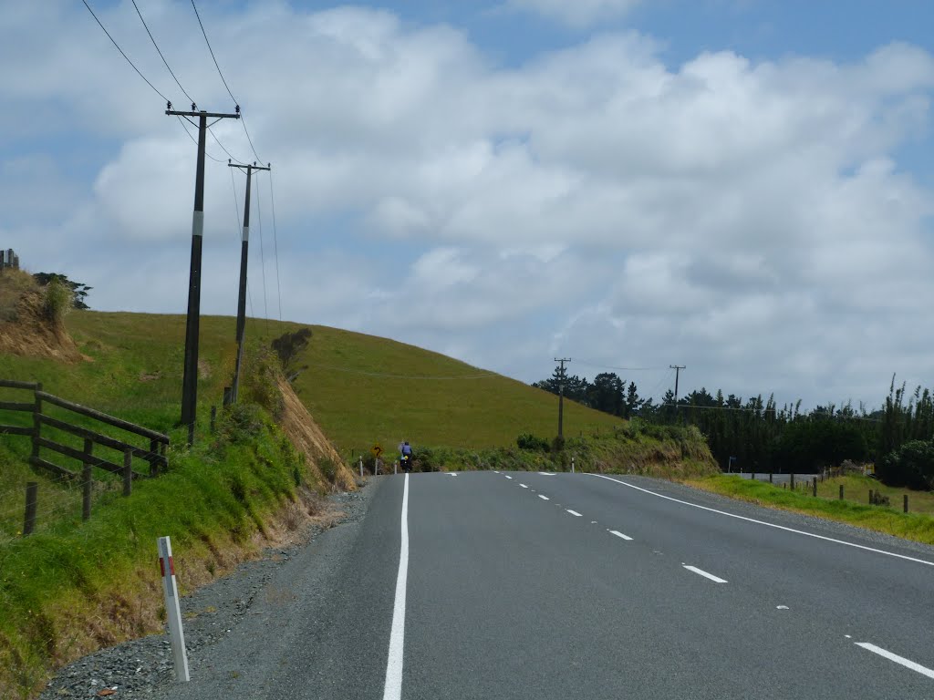
Photos of Waiharara


Waiharara Weather

Predicción: Overcast clouds
Temperatura: 18.1°
Humedad: 85%
Hora actual: 12:00 AM
Amanece: 06:52 PM
Anochece: 06:01 AM
Te Anau, New Zealand
Latitude: -45.4145 // Longitude: 167.718
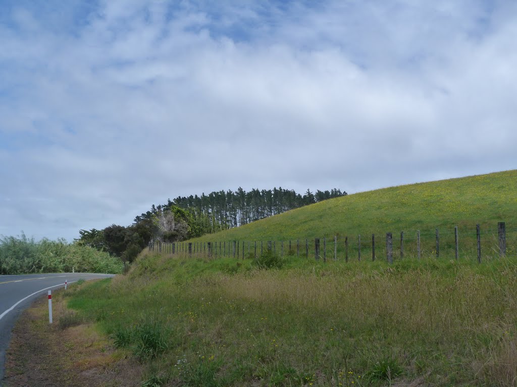
Photos of Te Anau


Te Anau Weather
Predicción: Broken clouds
Temperatura: 9.5°
Humedad: 78%
Hora actual: 10:19 AM
Amanece: 07:27 AM
Anochece: 06:09 PM


