
Distance between  Waharoa and
  Umawera
209.45 mi Straight Distance
261.22 mi Driving Distance
4 hours 32 mins Estimated Driving Time
The straight distance between Waharoa (Waikato) and Umawera (Northland) is 209.45 mi, but the driving distance is 261.22 mi.
It takes 4 hours 50 mins to go from Waharoa to Umawera.
Driving directions from Waharoa to Umawera
Distance in kilometers
Straight distance: 337.00 km. Route distance: 420.30 km
Waharoa, New Zealand
Latitude: -37.7603 // Longitude: 175.753
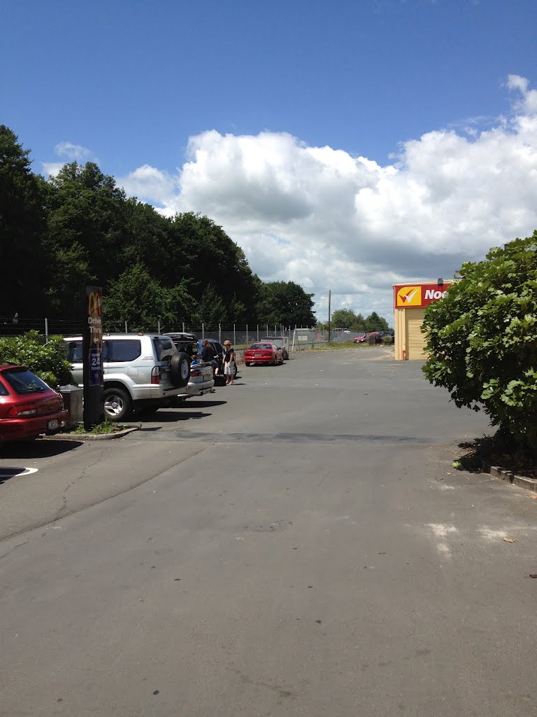
Photos of Waharoa
 New zealand")


Waharoa Weather

Predicción: Broken clouds
Temperatura: 12.5°
Humedad: 98%
Hora actual: 05:58 AM
Amanece: 06:47 AM
Anochece: 05:44 PM
Umawera, New Zealand
Latitude: -35.2856 // Longitude: 173.574
Photos of Umawera


Umawera Weather

Predicción: Scattered clouds
Temperatura: 16.0°
Humedad: 100%
Hora actual: 12:00 PM
Amanece: 06:53 AM
Anochece: 05:56 PM


