
Distance between  Waharoa and
  Te Aroha
15.21 mi Straight Distance
17.43 mi Driving Distance
18 minutes Estimated Driving Time
The straight distance between Waharoa (Waikato) and Te Aroha (Waikato) is 15.21 mi, but the driving distance is 17.43 mi.
It takes 26 mins to go from Waharoa to Te Aroha.
Driving directions from Waharoa to Te Aroha
Distance in kilometers
Straight distance: 24.47 km. Route distance: 28.04 km
Waharoa, New Zealand
Latitude: -37.7603 // Longitude: 175.753
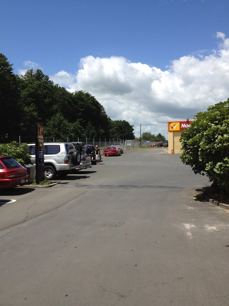
Photos of Waharoa
 New zealand")


Waharoa Weather

Predicción: Overcast clouds
Temperatura: 16.7°
Humedad: 87%
Hora actual: 08:46 AM
Amanece: 06:45 AM
Anochece: 05:47 PM
Te Aroha, New Zealand
Latitude: -37.5426 // Longitude: 175.712
Photos of Te Aroha


Te Aroha Weather
Predicción: Overcast clouds
Temperatura: 16.6°
Humedad: 91%
Hora actual: 12:00 PM
Amanece: 06:45 AM
Anochece: 05:48 PM


