
Distance between  Umawera and
  Temuka
630.88 mi Straight Distance
922.21 mi Driving Distance
18 hours 40 mins Estimated Driving Time
The straight distance between Umawera (Northland) and Temuka (Canterbury) is 630.88 mi, but the driving distance is 922.21 mi.
It takes 21 hours 13 mins to go from Umawera to Temuka.
Driving directions from Umawera to Temuka
Distance in kilometers
Straight distance: 1,015.08 km. Route distance: 1,483.84 km
Umawera, New Zealand
Latitude: -35.2856 // Longitude: 173.574
Photos of Umawera


Umawera Weather

Predicción: Overcast clouds
Temperatura: 20.7°
Humedad: 53%
Hora actual: 12:00 AM
Amanece: 06:50 PM
Anochece: 05:59 AM
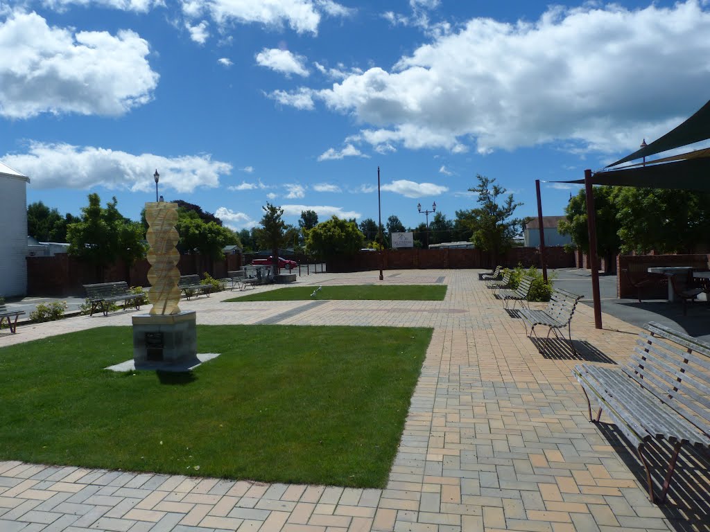
Temuka, New Zealand
Latitude: -44.2453 // Longitude: 171.278
Photos of Temuka


Temuka Weather
Predicción: Overcast clouds
Temperatura: 12.3°
Humedad: 91%
Hora actual: 10:30 AM
Amanece: 07:11 AM
Anochece: 05:57 PM


