
Distance between  Towai and
  Te Poi
189.50 mi Straight Distance
227.19 mi Driving Distance
4 hours 1 mins Estimated Driving Time
The straight distance between Towai (Northland) and Te Poi (Waikato) is 189.50 mi, but the driving distance is 227.19 mi.
It takes 4 hours 34 mins to go from Towai to Te Poi.
Driving directions from Towai to Te Poi
Distance in kilometers
Straight distance: 304.91 km. Route distance: 365.55 km
Towai, New Zealand
Latitude: -35.4989 // Longitude: 174.129
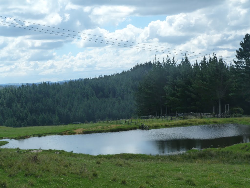
Photos of Towai


Towai Weather

Predicción: Overcast clouds
Temperatura: 21.7°
Humedad: 56%
Hora actual: 12:00 AM
Amanece: 06:50 PM
Anochece: 05:54 AM
Te Poi, New Zealand
Latitude: -37.8725 // Longitude: 175.843
Photos of Te Poi
 New zealand")
")


Te Poi Weather
Predicción: Overcast clouds
Temperatura: 20.0°
Humedad: 70%
Hora actual: 11:44 AM
Amanece: 06:47 AM
Anochece: 05:44 PM


