
Distance between  Towai and
  Taupo
Taupo
244.78 mi Straight Distance
290.89 mi Driving Distance
5 hours 5 mins Estimated Driving Time
The straight distance between Towai (Northland) and Taupo (Waikato) is 244.78 mi, but the driving distance is 290.89 mi.
It takes to go from Towai to Taupo.
Driving directions from Towai to Taupo
Distance in kilometers
Straight distance: 393.85 km. Route distance: 468.05 km
Towai, New Zealand
Latitude: -35.4989 // Longitude: 174.129
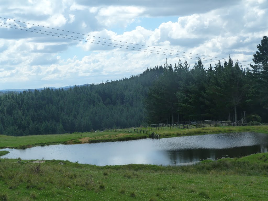
Photos of Towai


Towai Weather

Predicción: Scattered clouds
Temperatura: 19.1°
Humedad: 61%
Hora actual: 12:00 AM
Amanece: 06:50 PM
Anochece: 05:54 AM
Taupo, New Zealand
Latitude: -38.6857 // Longitude: 176.07
Photos of Taupo


Taupo Weather

Predicción: Broken clouds
Temperatura: 13.6°
Humedad: 72%
Hora actual: 05:09 PM
Amanece: 06:46 AM
Anochece: 05:43 PM


