
Distance between  Tolaga Bay and
  Te Arai
253.54 mi Straight Distance
392.88 mi Driving Distance
7 hours 6 mins Estimated Driving Time
The straight distance between Tolaga Bay (Gisborne) and Te Arai (Auckland) is 253.54 mi, but the driving distance is 392.88 mi.
It takes to go from Tolaga Bay to Te Arai.
Driving directions from Tolaga Bay to Te Arai
Distance in kilometers
Straight distance: 407.94 km. Route distance: 632.15 km
Tolaga Bay, New Zealand
Latitude: -38.3726 // Longitude: 178.297
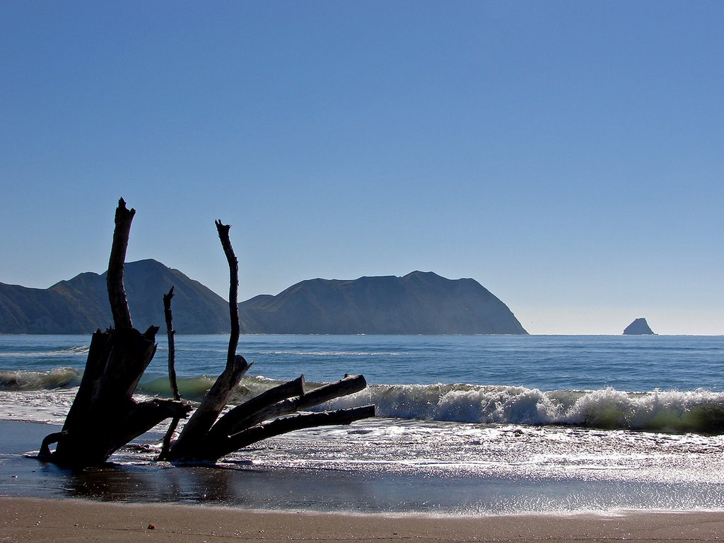
Photos of Tolaga Bay


Tolaga Bay Weather

Predicción: Broken clouds
Temperatura: 17.2°
Humedad: 71%
Hora actual: 05:11 PM
Amanece: 06:35 AM
Anochece: 05:38 PM
Te Arai, New Zealand
Latitude: -36.1982 // Longitude: 174.581
Photos of Te Arai


Te Arai Weather

Predicción: Scattered clouds
Temperatura: 17.7°
Humedad: 69%
Hora actual: 12:00 PM
Amanece: 06:47 AM
Anochece: 05:55 PM


