
Distance between  Te Wera and
  Hokitika
304.15 mi Straight Distance
531.94 mi Driving Distance
11 hours 58 mins Estimated Driving Time
The straight distance between Te Wera (Taranaki) and Hokitika (Costa Oeste) is 304.15 mi, but the driving distance is 531.94 mi.
It takes to go from Te Wera to Hokitika.
Driving directions from Te Wera to Hokitika
Distance in kilometers
Straight distance: 489.37 km. Route distance: 855.89 km
Te Wera, New Zealand
Latitude: -39.2532 // Longitude: 174.567
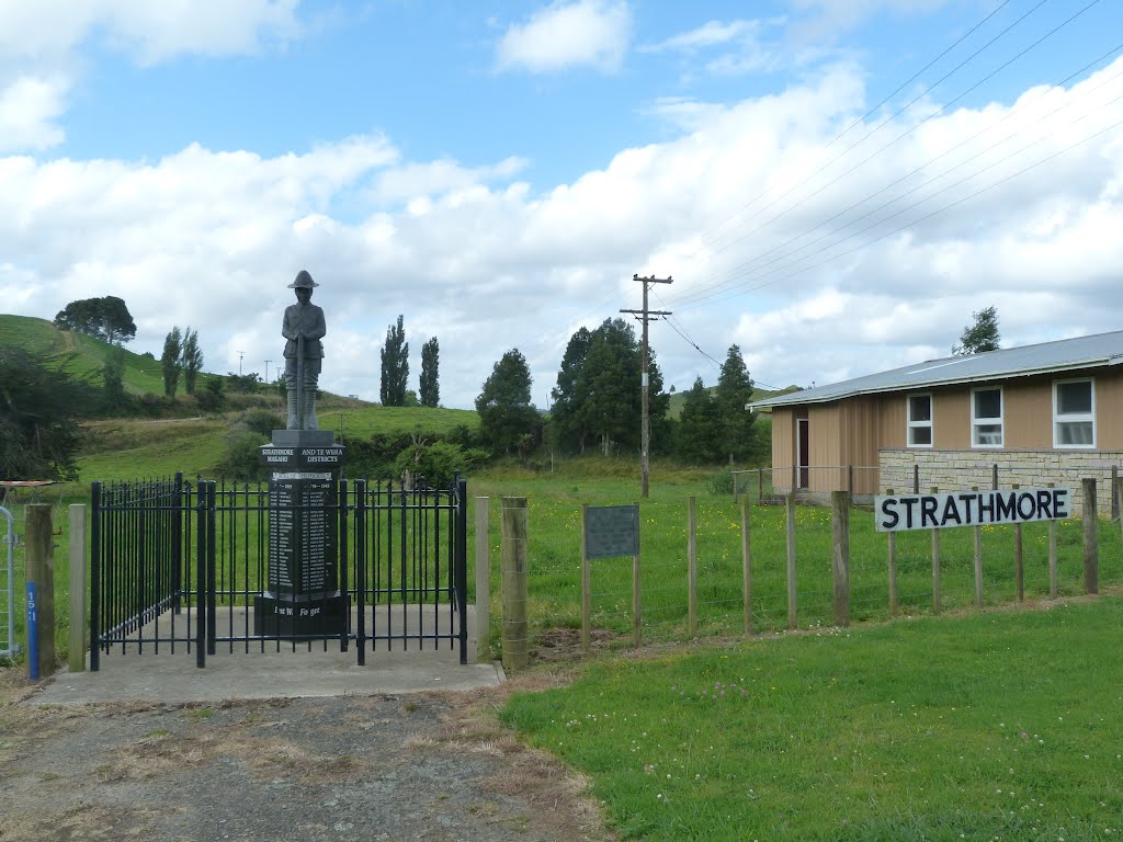
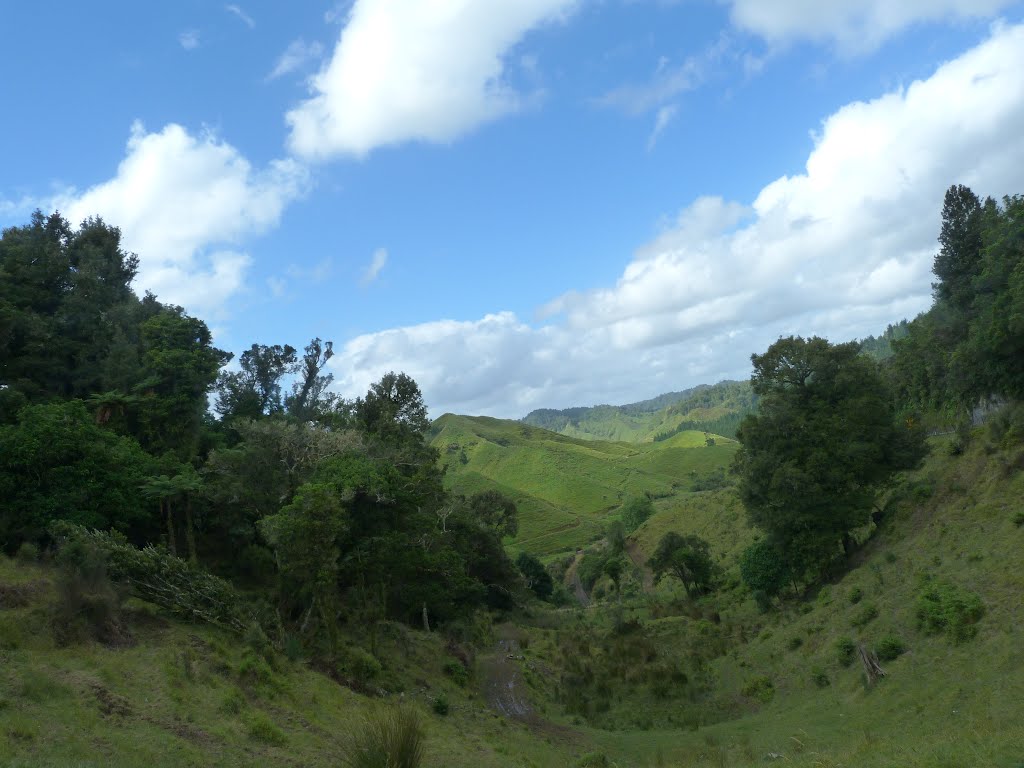
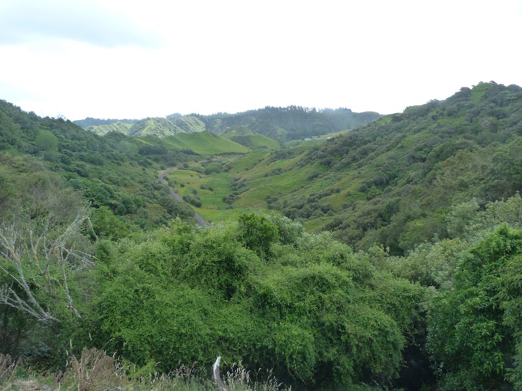
Photos of Te Wera


Te Wera Weather

Predicción: Few clouds
Temperatura: 12.7°
Humedad: 99%
Hora actual: 12:00 AM
Amanece: 06:51 PM
Anochece: 05:51 AM
Hokitika, New Zealand
Latitude: -42.7174 // Longitude: 170.967
Photos of Hokitika


Hokitika Weather

Predicción: Overcast clouds
Temperatura: 12.3°
Humedad: 89%
Hora actual: 07:00 AM
Amanece: 07:10 AM
Anochece: 06:00 PM


