
Distance between  Te Kao and
  Tauhoa
145.29 mi Straight Distance
195.48 mi Driving Distance
3 hours 27 mins Estimated Driving Time
The straight distance between Te Kao (Northland) and Tauhoa (Auckland) is 145.29 mi, but the driving distance is 195.48 mi.
It takes 3 hours 47 mins to go from Te Kao to Tauhoa.
Driving directions from Te Kao to Tauhoa
Distance in kilometers
Straight distance: 233.78 km. Route distance: 314.53 km
Te Kao, New Zealand
Latitude: -34.6553 // Longitude: 172.969
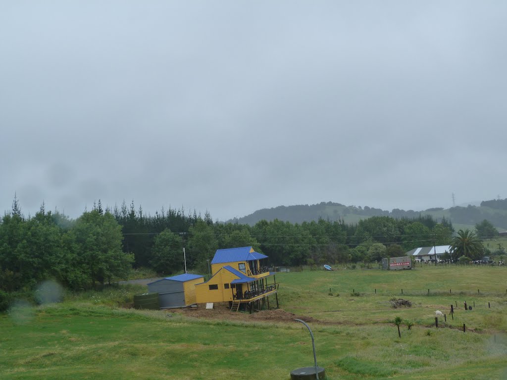
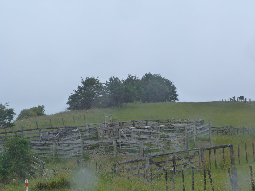
Photos of Te Kao


Te Kao Weather

Predicción: Clear sky
Temperatura: 15.8°
Humedad: 91%
Hora actual: 12:00 AM
Amanece: 06:54 PM
Anochece: 06:00 AM
Tauhoa, New Zealand
Latitude: -36.3773 // Longitude: 174.452
Photos of Tauhoa


Tauhoa Weather

Predicción: Scattered clouds
Temperatura: 14.7°
Humedad: 98%
Hora actual: 12:00 AM
Amanece: 06:50 PM
Anochece: 05:52 AM


