
Distance between  Tairua and
  Ruawai
117.53 mi Straight Distance
205.40 mi Driving Distance
3 hours 36 mins Estimated Driving Time
The straight distance between Tairua (Waikato) and Ruawai (Northland) is 117.53 mi, but the driving distance is 205.40 mi.
It takes to go from Tairua to Ruawai.
Driving directions from Tairua to Ruawai
Distance in kilometers
Straight distance: 189.11 km. Route distance: 330.49 km
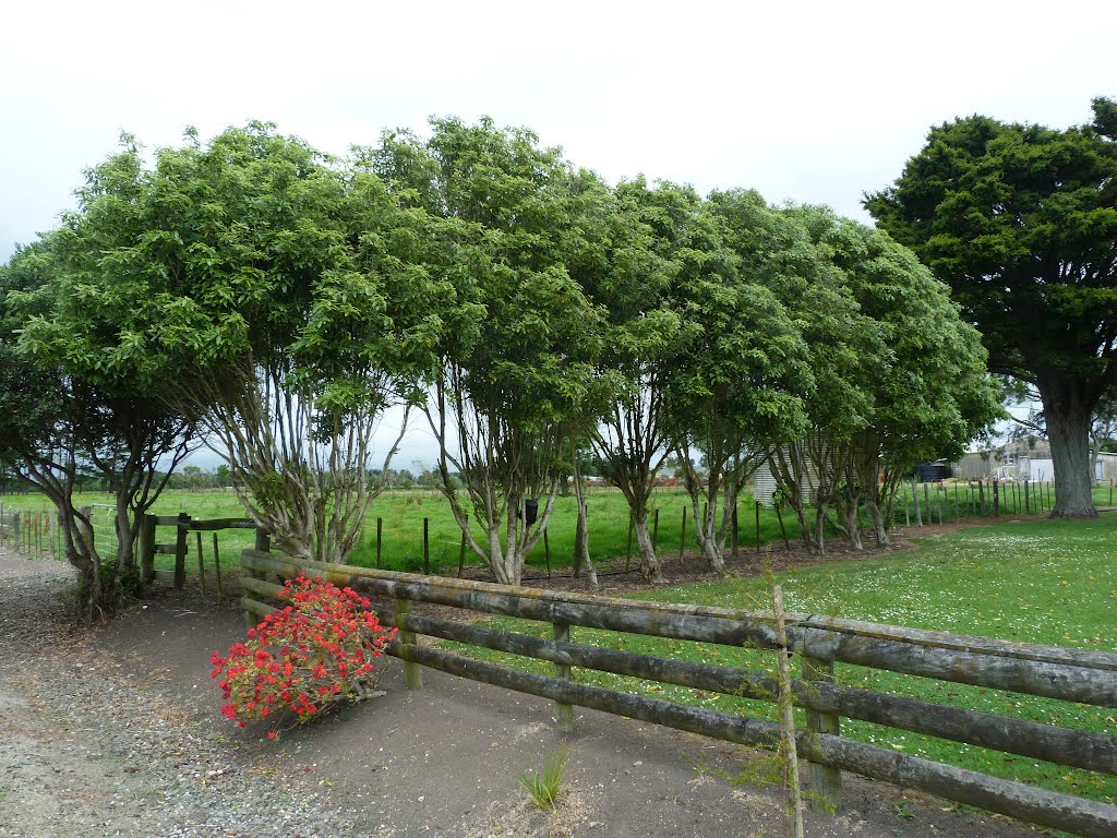
Tairua, New Zealand
Latitude: -36.9961 // Longitude: 175.85
Photos of Tairua


")


Tairua Weather

Predicción: Overcast clouds
Temperatura: 17.0°
Humedad: 80%
Hora actual: 09:45 AM
Amanece: 06:45 AM
Anochece: 05:45 PM
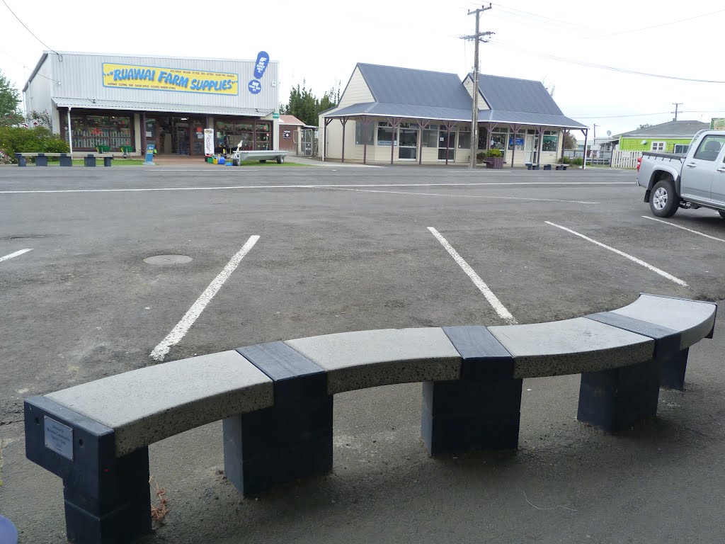
Ruawai, New Zealand
Latitude: -36.1355 // Longitude: 174.023
Photos of Ruawai


Ruawai Weather
Predicción: Overcast clouds
Temperatura: 19.4°
Humedad: 77%
Hora actual: 09:45 AM
Amanece: 06:52 AM
Anochece: 05:53 PM


