
Distance between  Seacliff and
  St Andrews
84.07 mi Straight Distance
94.82 mi Driving Distance
1 hour 45 mins Estimated Driving Time
The straight distance between Seacliff (Otago) and St Andrews (Canterbury) is 84.07 mi, but the driving distance is 94.82 mi.
It takes 1 hour 56 mins to go from Seacliff to St Andrews.
Driving directions from Seacliff to St Andrews
Distance in kilometers
Straight distance: 135.27 km. Route distance: 152.56 km
Seacliff, New Zealand
Latitude: -45.6794 // Longitude: 170.625
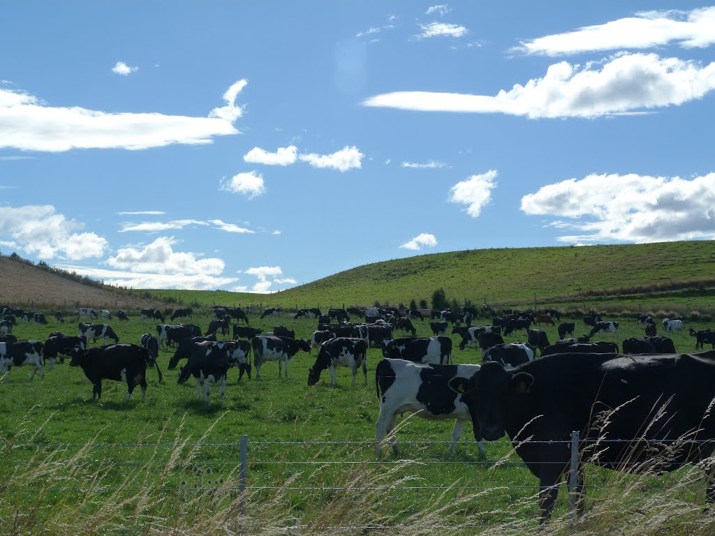
Photos of Seacliff


Seacliff Weather

Predicción: Moderate rain
Temperatura: 15.4°
Humedad: 50%
Hora actual: 12:00 AM
Amanece: 07:18 PM
Anochece: 05:55 AM
St Andrews, New Zealand
Latitude: -44.5301 // Longitude: 171.191
Photos of St Andrews


St Andrews Weather

Predicción: Broken clouds
Temperatura: 18.9°
Humedad: 25%
Hora actual: 12:00 AM
Amanece: 07:14 PM
Anochece: 05:54 AM


