Distance between  Runanga and
  Riverton
316.72 mi Straight Distance
473.21 mi Driving Distance
8 hours 11 mins Estimated Driving Time
The straight distance between Runanga (Costa Oeste) and Riverton (Southland) is 316.72 mi, but the driving distance is 473.21 mi.
It takes 8 hours 44 mins to go from Runanga to Riverton.
Driving directions from Runanga to Riverton
Distance in kilometers
Straight distance: 509.60 km. Route distance: 761.39 km
Runanga, New Zealand
Latitude: -42.4021 // Longitude: 171.247
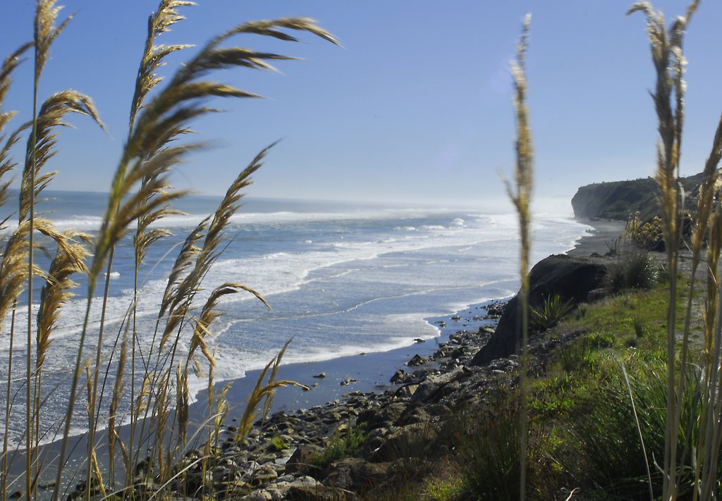
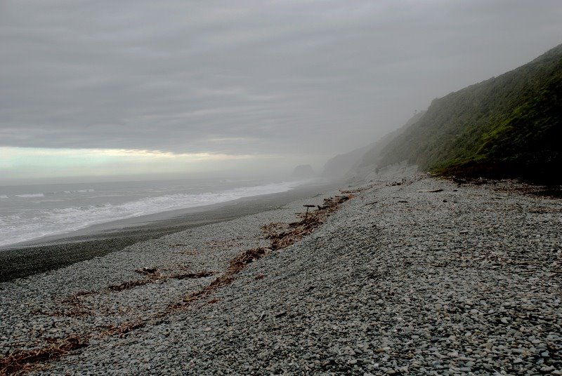
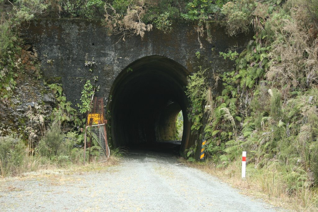
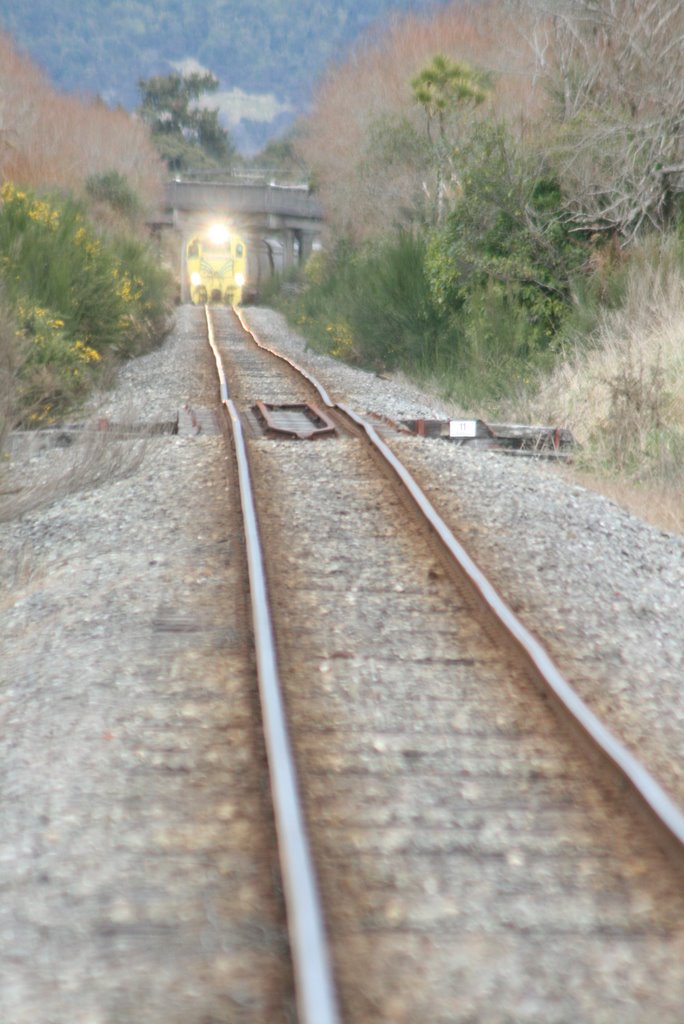
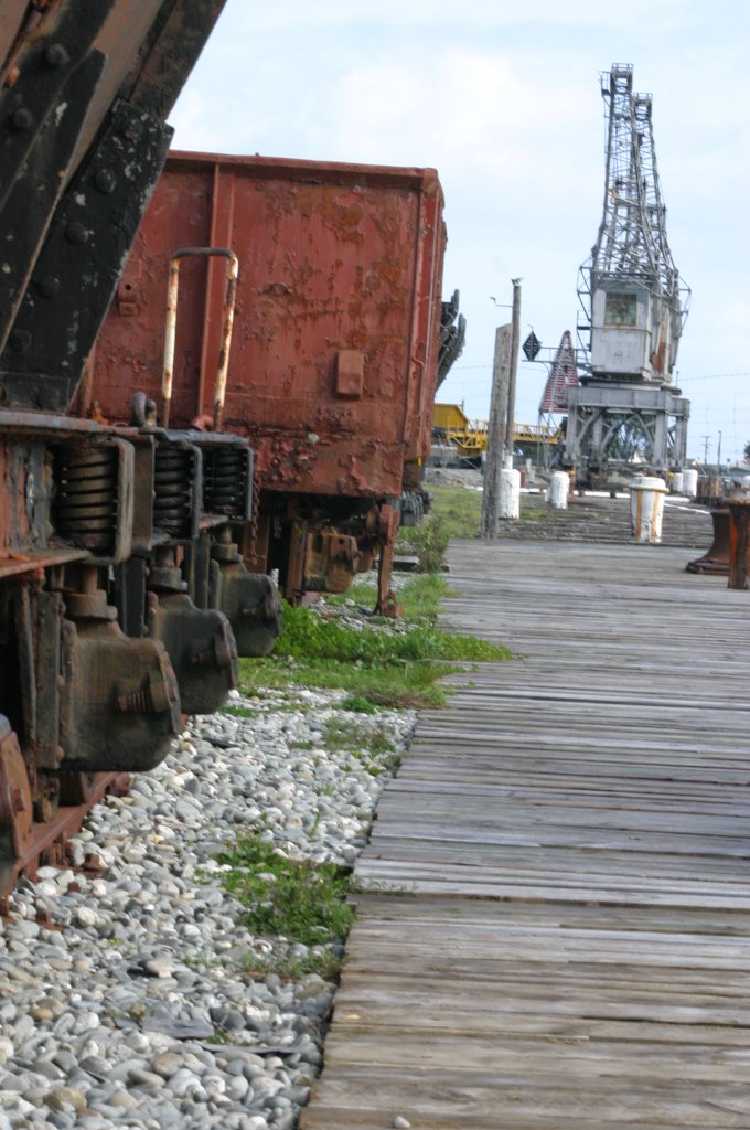
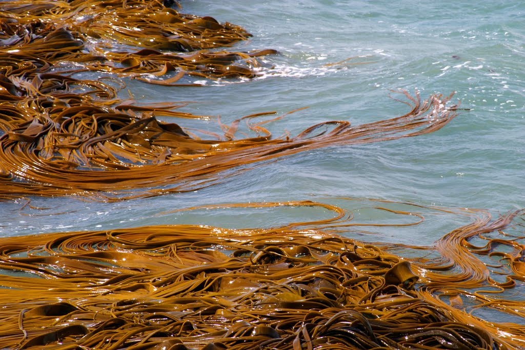
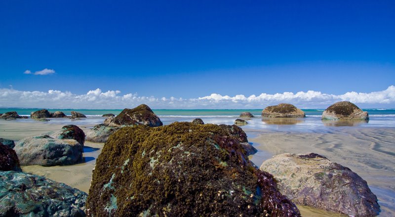
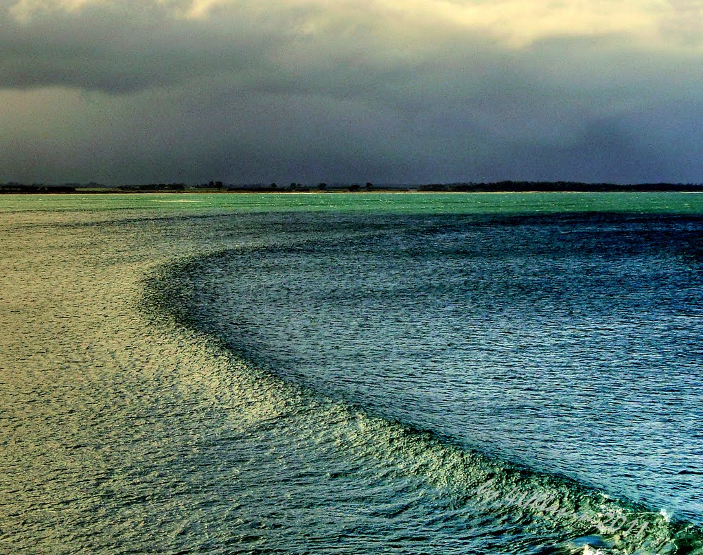
Photos of Runanga
Runanga Weather

Predicción: Overcast clouds
Temperatura: 12.1°
Humedad: 91%
Hora actual: 11:30 PM
Amanece: 07:08 AM
Anochece: 06:01 PM
Riverton, New Zealand
Latitude: -46.3639 // Longitude: 168.018
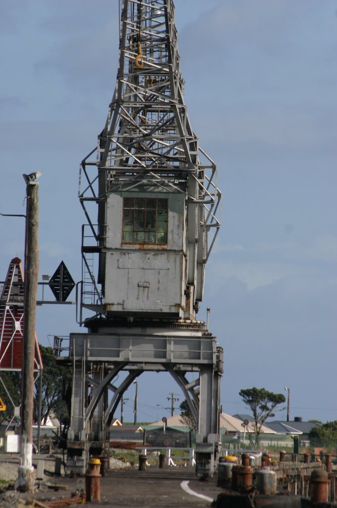
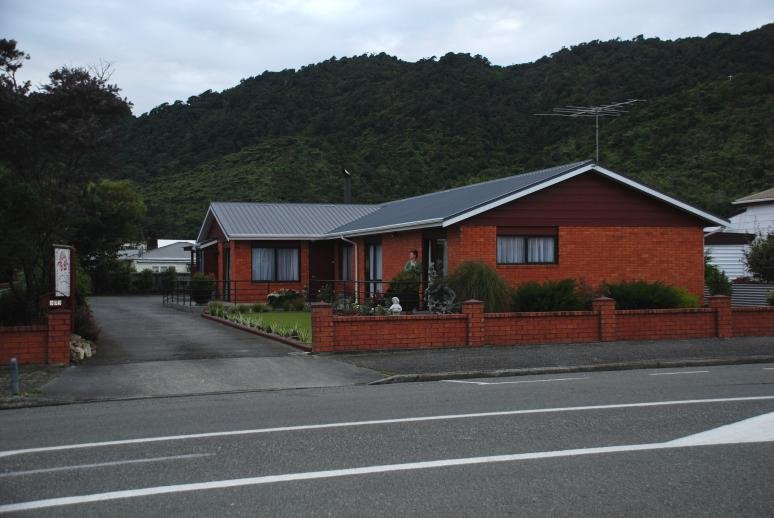
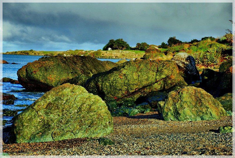
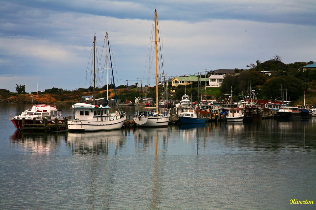
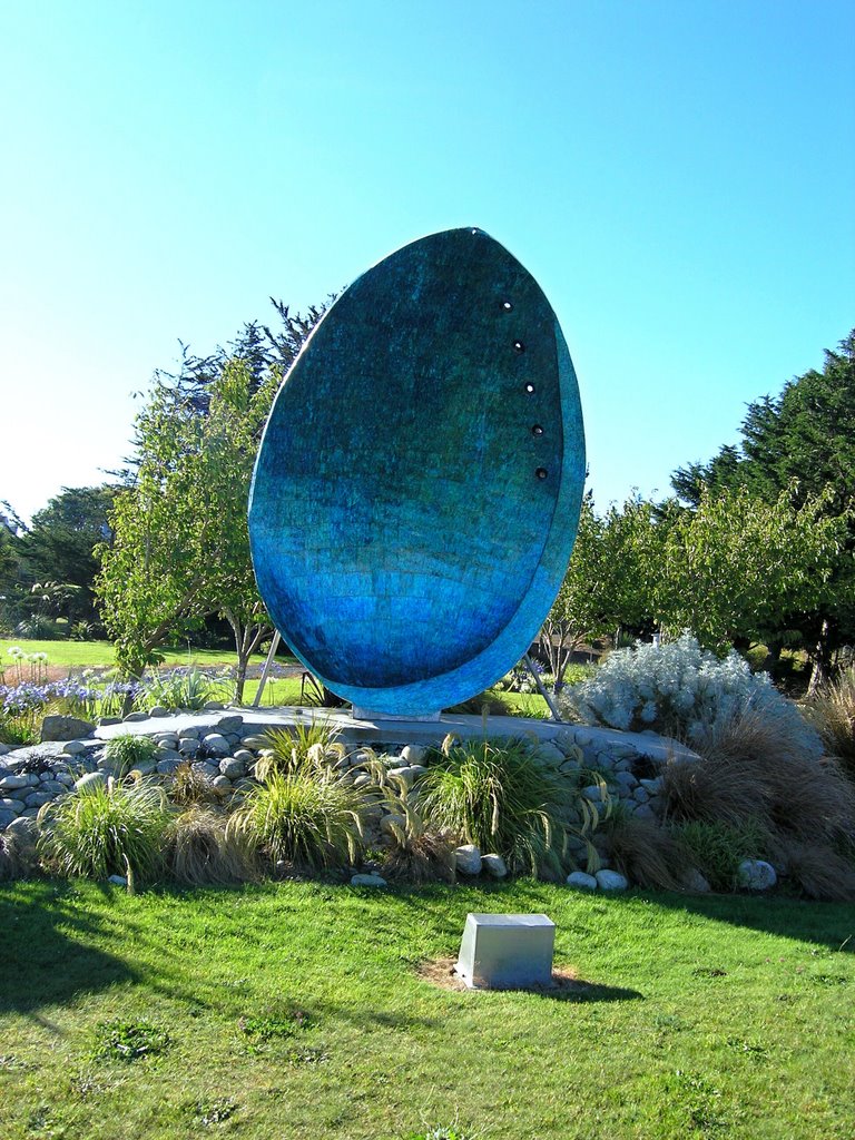
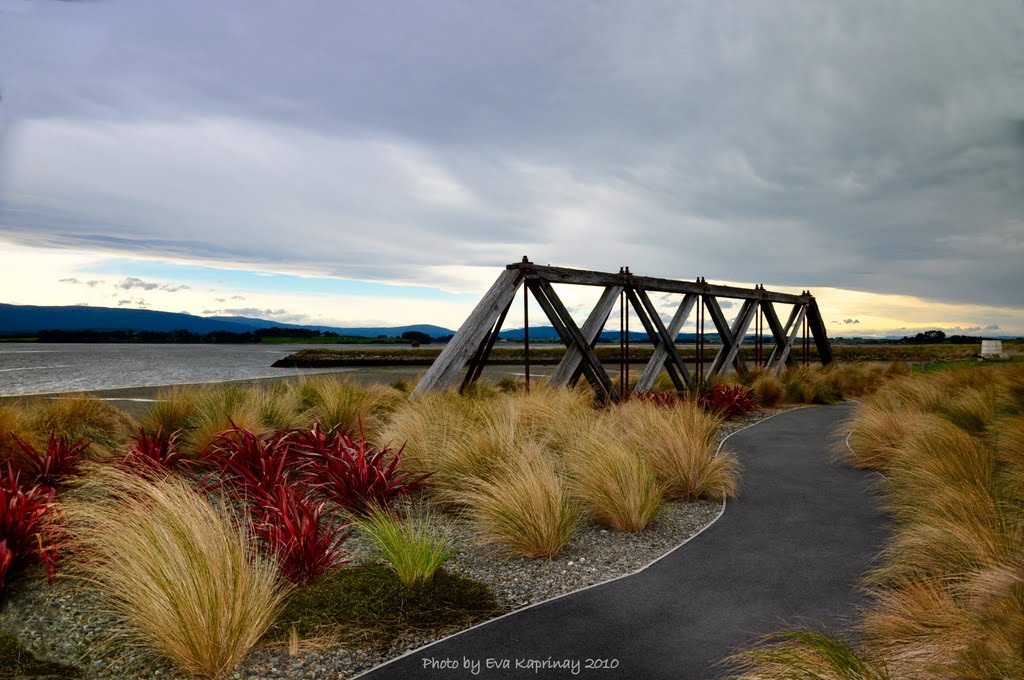
Photos of Riverton
Riverton Weather

Predicción: Overcast clouds
Temperatura: 10.6°
Humedad: 65%
Hora actual: 11:30 PM
Amanece: 07:26 AM
Anochece: 06:09 PM


