
Distance between  Rolleston and
  Pipiwai
557.62 mi Straight Distance
802.62 mi Driving Distance
16 hours 36 mins Estimated Driving Time
The straight distance between Rolleston (Canterbury) and Pipiwai (Northland) is 557.62 mi, but the driving distance is 802.62 mi.
It takes to go from Rolleston to Pipiwai.
Driving directions from Rolleston to Pipiwai
Distance in kilometers
Straight distance: 897.21 km. Route distance: 1,291.41 km
Rolleston, New Zealand
Latitude: -43.5908 // Longitude: 172.379
Photos of Rolleston


Rolleston Weather

Predicción: Clear sky
Temperatura: 14.1°
Humedad: 64%
Hora actual: 06:12 PM
Amanece: 07:07 AM
Anochece: 05:52 PM
Pipiwai, New Zealand
Latitude: -35.6188 // Longitude: 174.015
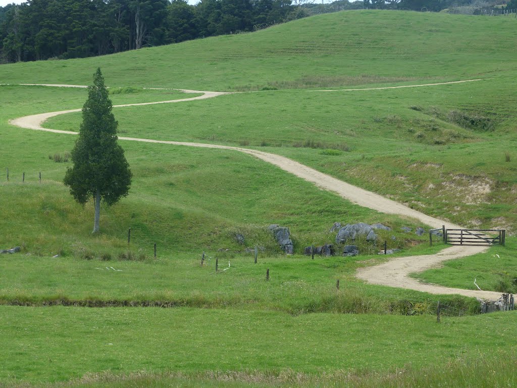
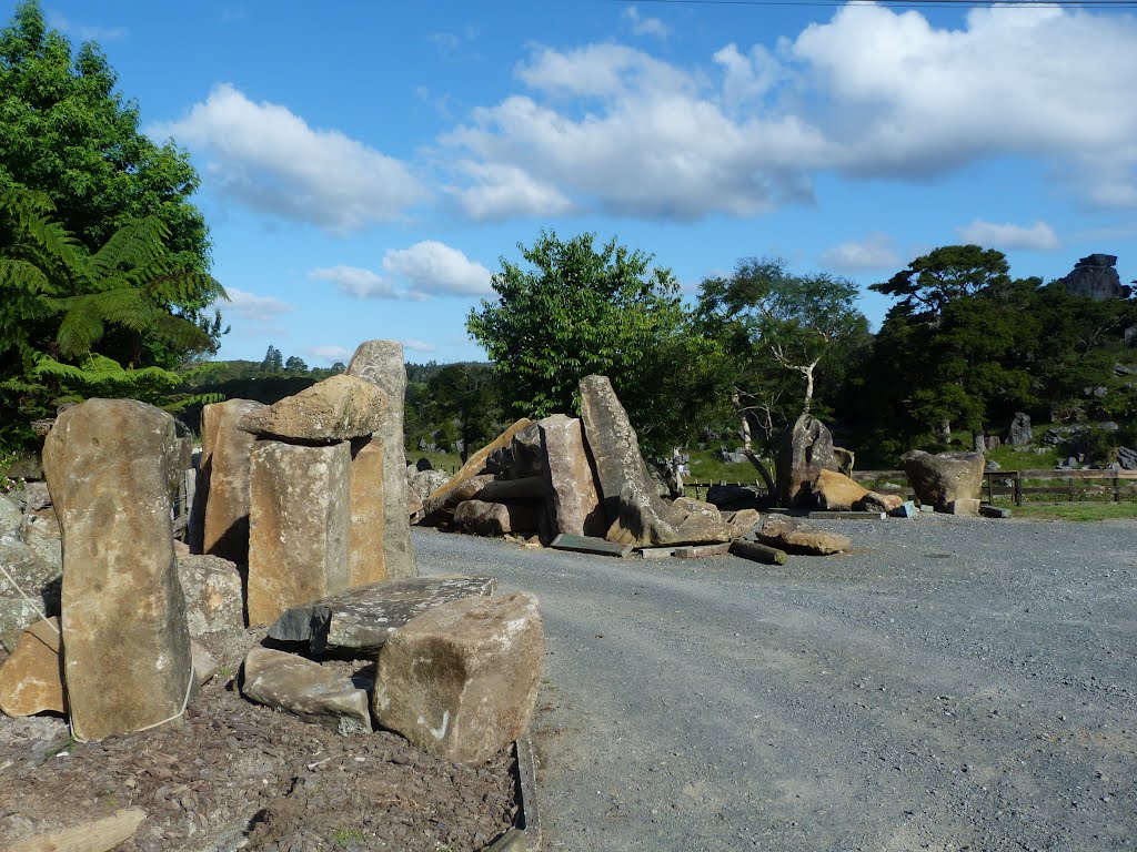
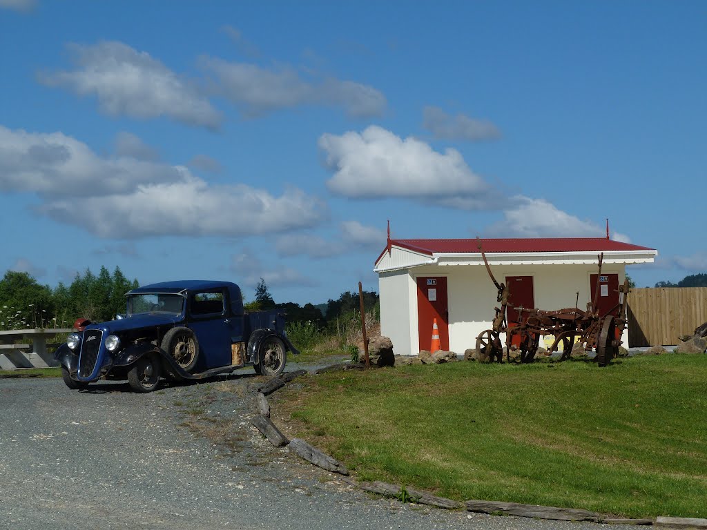
Photos of Pipiwai


Pipiwai Weather

Predicción: Few clouds
Temperatura: 14.9°
Humedad: 75%
Hora actual: 12:00 PM
Amanece: 06:50 AM
Anochece: 05:55 PM


