
Distance between  Portland and
  Pakotai
25.39 mi Straight Distance
29.91 mi Driving Distance
45 minutes Estimated Driving Time
The straight distance between Portland (Northland) and Pakotai (Northland) is 25.39 mi, but the driving distance is 29.91 mi.
It takes 48 mins to go from Portland to Pakotai.
Driving directions from Portland to Pakotai
Distance in kilometers
Straight distance: 40.85 km. Route distance: 48.12 km
Portland, New Zealand
Latitude: -35.8034 // Longitude: 174.33
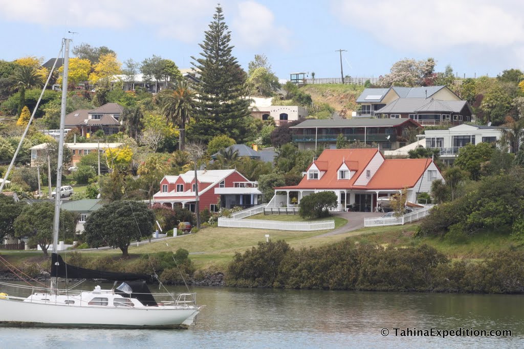
Photos of Portland


Portland Weather

Predicción: Overcast clouds
Temperatura: 22.4°
Humedad: 55%
Hora actual: 12:02 PM
Amanece: 06:50 AM
Anochece: 05:53 PM
Pakotai, New Zealand
Latitude: -35.6884 // Longitude: 173.9
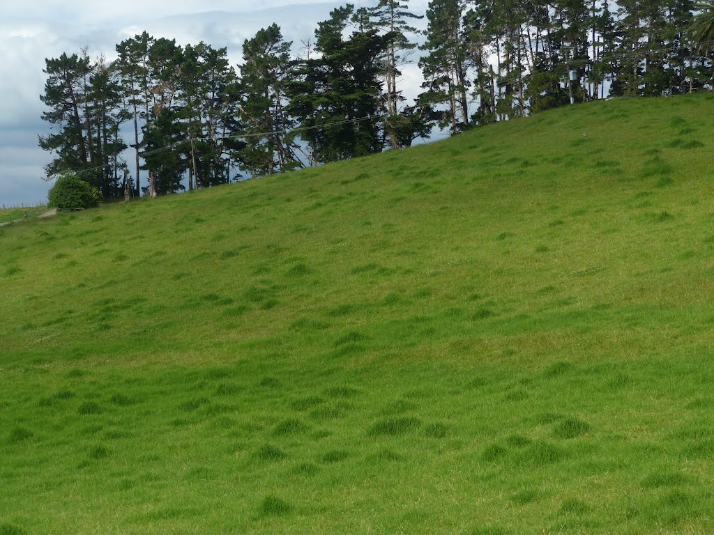
Photos of Pakotai


Pakotai Weather

Predicción: Light rain
Temperatura: 22.4°
Humedad: 55%
Hora actual: 12:00 PM
Amanece: 06:52 AM
Anochece: 05:54 PM


