
Distance between  Picton and
  Oromahoe
412.48 mi Straight Distance
602.70 mi Driving Distance
12 hours 59 mins Estimated Driving Time
The straight distance between Picton (Marlborough) and Oromahoe (Northland) is 412.48 mi, but the driving distance is 602.70 mi.
It takes to go from Picton to Oromahoe.
Driving directions from Picton to Oromahoe
Distance in kilometers
Straight distance: 663.68 km. Route distance: 969.74 km
Picton, New Zealand
Latitude: -41.2906 // Longitude: 174.001
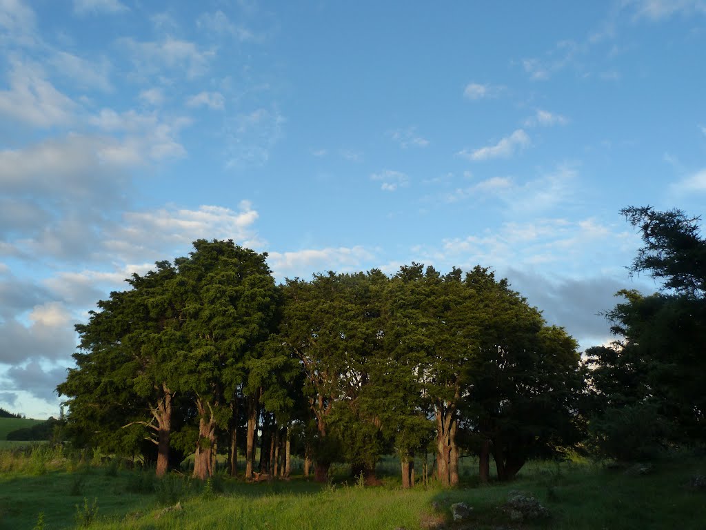
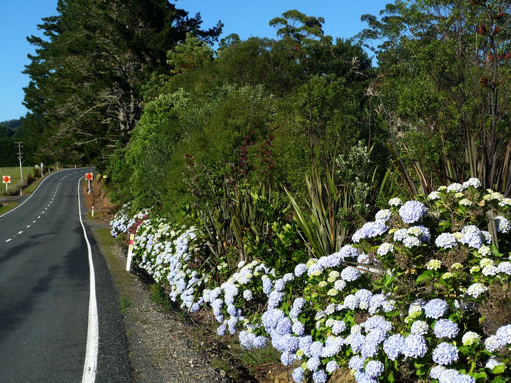
Photos of Picton


Picton Weather

Predicción: Clear sky
Temperatura: 10.3°
Humedad: 82%
Hora actual: 10:40 PM
Amanece: 06:55 AM
Anochece: 05:51 PM
Oromahoe, New Zealand
Latitude: -35.3207 // Longitude: 173.978
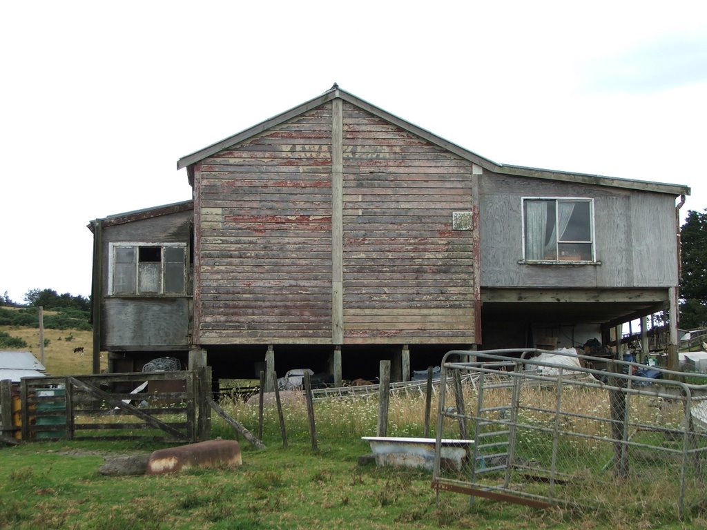
Photos of Oromahoe


Oromahoe Weather
Predicción: Clear sky
Temperatura: 11.6°
Humedad: 86%
Hora actual: 10:40 PM
Amanece: 06:49 AM
Anochece: 05:58 PM


