
Distance between  Otorohanga and
  Omanaia
210.67 mi Straight Distance
283.58 mi Driving Distance
5 hours 15 mins Estimated Driving Time
The straight distance between Otorohanga (Waikato) and Omanaia (Northland) is 210.67 mi, but the driving distance is 283.58 mi.
It takes to go from Otorohanga to Omanaia.
Driving directions from Otorohanga to Omanaia
Distance in kilometers
Straight distance: 338.96 km. Route distance: 456.28 km
Otorohanga, New Zealand
Latitude: -38.1888 // Longitude: 175.21
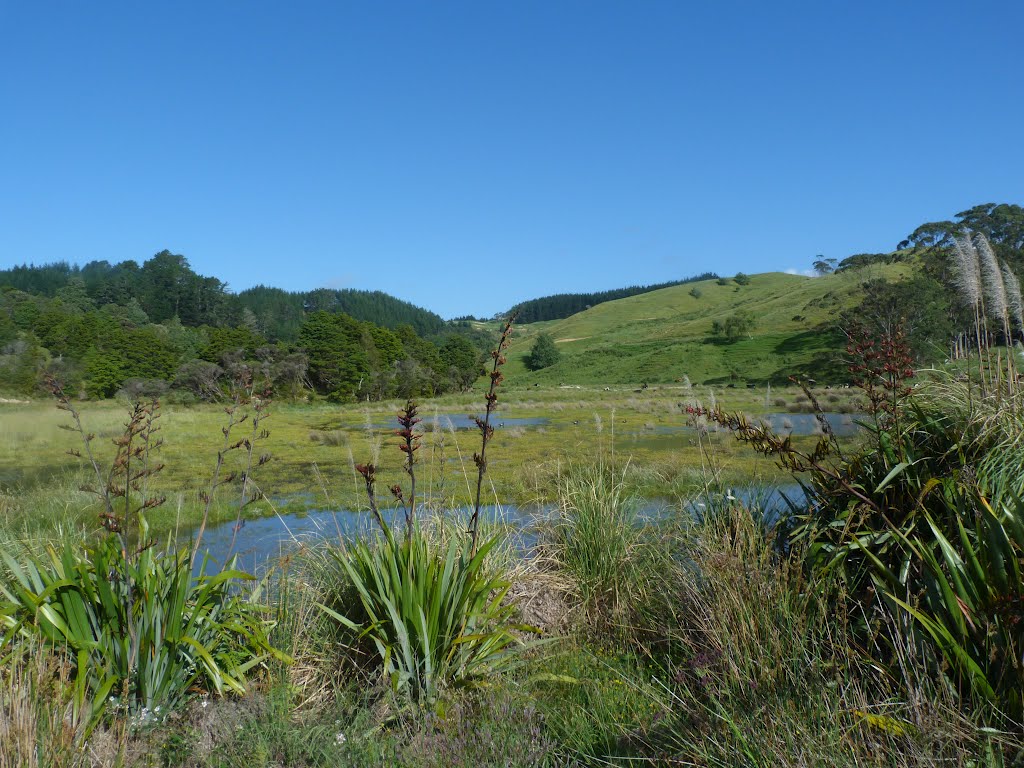
Photos of Otorohanga


Otorohanga Weather

Predicción: Scattered clouds
Temperatura: 15.7°
Humedad: 93%
Hora actual: 07:13 AM
Amanece: 06:48 AM
Anochece: 05:49 PM
Omanaia, New Zealand
Latitude: -35.455 // Longitude: 173.523
Photos of Omanaia


Omanaia Weather

Predicción: Overcast clouds
Temperatura: 13.9°
Humedad: 93%
Hora actual: 07:13 AM
Amanece: 06:51 AM
Anochece: 05:59 PM


