
Distance between  Oromahoe and
  Okato
Okato
267.52 mi Straight Distance
383.59 mi Driving Distance
6 hours 53 mins Estimated Driving Time
The straight distance between Oromahoe (Northland) and Okato (Taranaki) is 267.52 mi, but the driving distance is 383.59 mi.
It takes 8 hours 8 mins to go from Oromahoe to Okato.
Driving directions from Oromahoe to Okato
Distance in kilometers
Straight distance: 430.44 km. Route distance: 617.19 km
Oromahoe, New Zealand
Latitude: -35.3207 // Longitude: 173.978
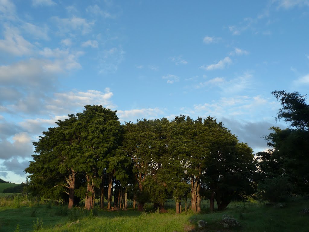
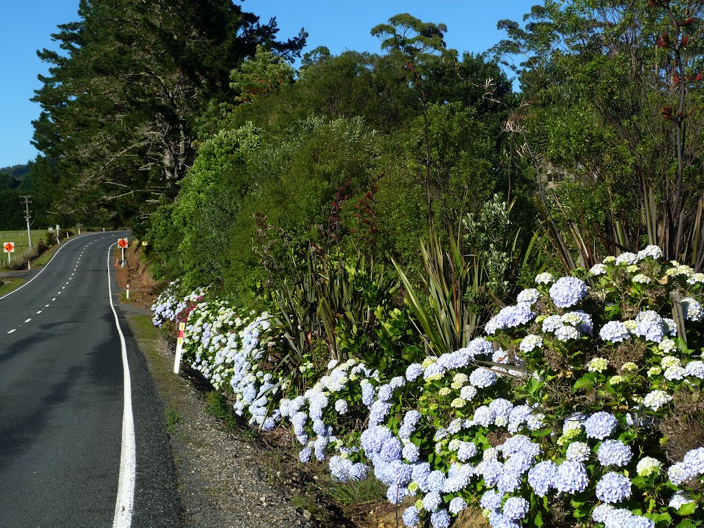
Photos of Oromahoe


Oromahoe Weather

Predicción: Overcast clouds
Temperatura: 23.1°
Humedad: 45%
Hora actual: 02:33 PM
Amanece: 06:51 AM
Anochece: 05:54 PM
Okato, New Zealand
Latitude: -39.1918 // Longitude: 173.879
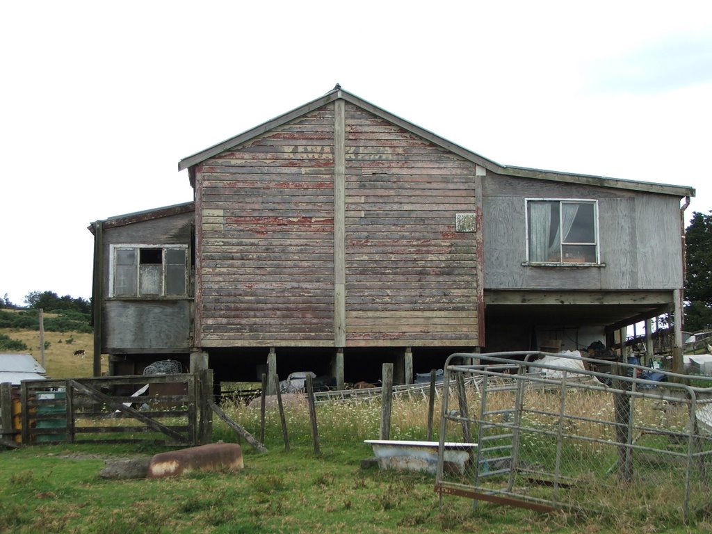
Photos of Okato


Okato Weather
Predicción: Overcast clouds
Temperatura: 18.0°
Humedad: 81%
Hora actual: 02:33 PM
Amanece: 06:56 AM
Anochece: 05:50 PM


