
Distance between  Opotiki and
  Omanaia
272.97 mi Straight Distance
382.18 mi Driving Distance
6 hours 49 mins Estimated Driving Time
The straight distance between Opotiki (Bay of Plenty) and Omanaia (Northland) is 272.97 mi, but the driving distance is 382.18 mi.
It takes 7 hours 37 mins to go from Opotiki to Omanaia.
Driving directions from Opotiki to Omanaia
Distance in kilometers
Straight distance: 439.21 km. Route distance: 614.93 km
Opotiki, New Zealand
Latitude: -38.0072 // Longitude: 177.287
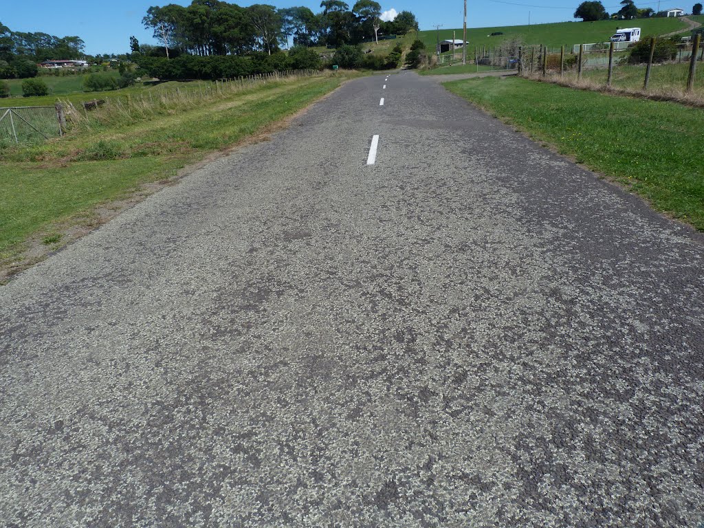
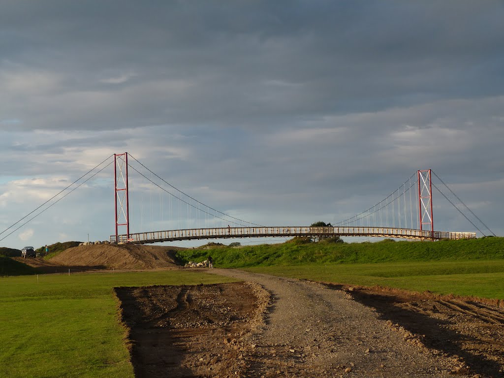
Photos of Opotiki


Opotiki Weather

Predicción: Scattered clouds
Temperatura: 12.0°
Humedad: 88%
Hora actual: 10:57 PM
Amanece: 06:40 AM
Anochece: 05:39 PM
Omanaia, New Zealand
Latitude: -35.455 // Longitude: 173.523
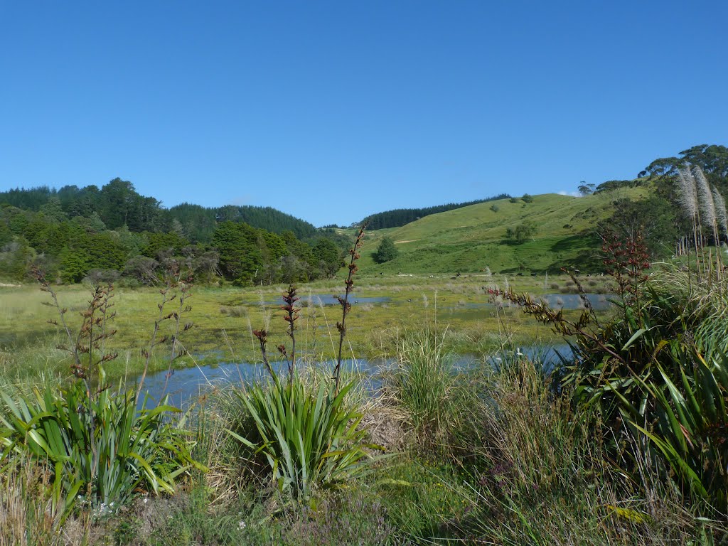
Photos of Omanaia


Omanaia Weather
Predicción: Scattered clouds
Temperatura: 12.4°
Humedad: 100%
Hora actual: 10:57 PM
Amanece: 06:52 AM
Anochece: 05:57 PM


