
Distance between  Omata and
  Ohakune
77.06 mi Straight Distance
168.88 mi Driving Distance
3 hours 3 mins Estimated Driving Time
The straight distance between Omata (Taranaki) and Ohakune (Manawatu-Wanganui) is 77.06 mi, but the driving distance is 168.88 mi.
It takes to go from Omata to Ohakune.
Driving directions from Omata to Ohakune
Distance in kilometers
Straight distance: 123.98 km. Route distance: 271.73 km
Omata, New Zealand
Latitude: -39.0936 // Longitude: 174.02
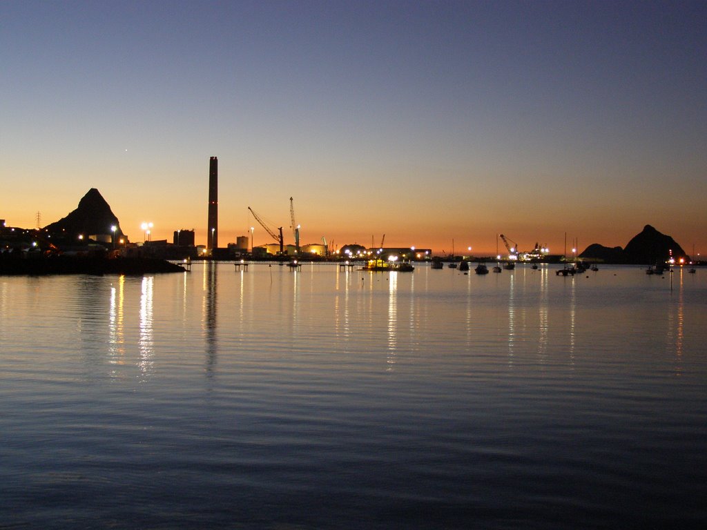
Photos of Omata


, NZ")


Omata Weather

Predicción: Scattered clouds
Temperatura: 16.2°
Humedad: 85%
Hora actual: 11:22 AM
Amanece: 06:53 AM
Anochece: 05:53 PM
Ohakune, New Zealand
Latitude: -39.418 // Longitude: 175.398
Photos of Ohakune


Ohakune Weather

Predicción: Broken clouds
Temperatura: 15.6°
Humedad: 65%
Hora actual: 12:00 PM
Amanece: 06:48 AM
Anochece: 05:47 PM


