
Distance between  Ohakana Island and
  Motatau
240.43 mi Straight Distance
319.99 mi Driving Distance
5 hours 47 mins Estimated Driving Time
The straight distance between Ohakana Island (Bay of Plenty) and Motatau (Northland) is 240.43 mi, but the driving distance is 319.99 mi.
It takes 6 hours 38 mins to go from Ohakana Island to Motatau.
Driving directions from Ohakana Island to Motatau
Distance in kilometers
Straight distance: 386.85 km. Route distance: 514.86 km
Ohakana Island, New Zealand
Latitude: -37.9752 // Longitude: 177.076
Photos of Ohakana Island

 from Ohope Beach")


Ohakana Island Weather

Predicción: Broken clouds
Temperatura: 15.0°
Humedad: 75%
Hora actual: 12:00 AM
Amanece: 06:39 PM
Anochece: 05:42 AM
Motatau, New Zealand
Latitude: -35.49 // Longitude: 174.036
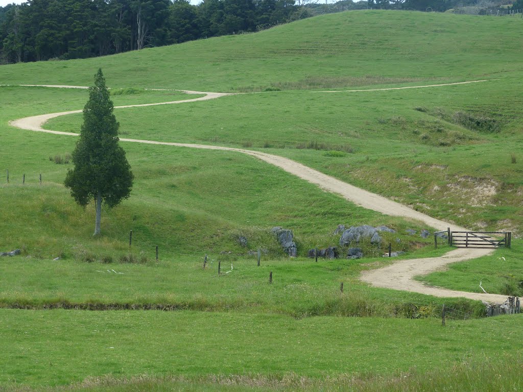
Photos of Motatau


Motatau Weather

Predicción: Scattered clouds
Temperatura: 19.9°
Humedad: 76%
Hora actual: 12:00 AM
Amanece: 06:49 PM
Anochece: 05:57 AM


