
Distance between  Normanby and
  Mahoenui
72.98 mi Straight Distance
103.18 mi Driving Distance
1 hour 45 mins Estimated Driving Time
The straight distance between Normanby (Taranaki) and Mahoenui (Waikato) is 72.98 mi, but the driving distance is 103.18 mi.
It takes 1 hour 57 mins to go from Normanby to Mahoenui.
Driving directions from Normanby to Mahoenui
Distance in kilometers
Straight distance: 117.43 km. Route distance: 166.02 km
Normanby, New Zealand
Latitude: -39.5399 // Longitude: 174.274
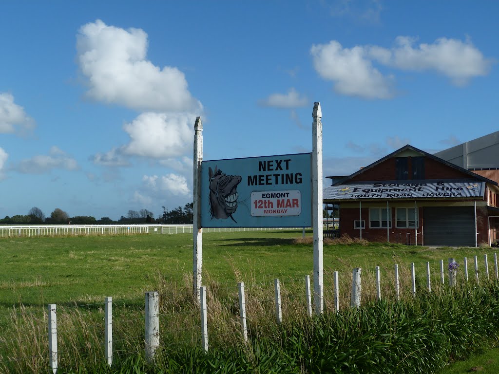
Photos of Normanby


Normanby Weather

Predicción: Overcast clouds
Temperatura: 17.3°
Humedad: 56%
Hora actual: 01:06 PM
Amanece: 06:55 AM
Anochece: 05:48 PM
Mahoenui, New Zealand
Latitude: -38.5794 // Longitude: 174.84
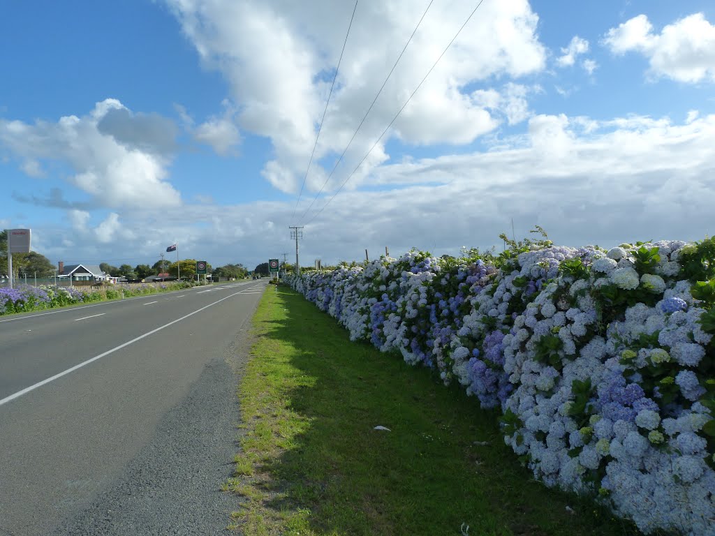
Photos of Mahoenui


Mahoenui Weather
Predicción: Overcast clouds
Temperatura: 18.8°
Humedad: 65%
Hora actual: 12:00 PM
Amanece: 06:51 AM
Anochece: 05:47 PM


