
Distance between  Ngaere and
  Motatau
270.18 mi Straight Distance
375.09 mi Driving Distance
6 hours 51 mins Estimated Driving Time
The straight distance between Ngaere (Taranaki) and Motatau (Northland) is 270.18 mi, but the driving distance is 375.09 mi.
It takes 7 hours 50 mins to go from Ngaere to Motatau.
Driving directions from Ngaere to Motatau
Distance in kilometers
Straight distance: 434.73 km. Route distance: 603.52 km
Ngaere, New Zealand
Latitude: -39.3948 // Longitude: 174.3
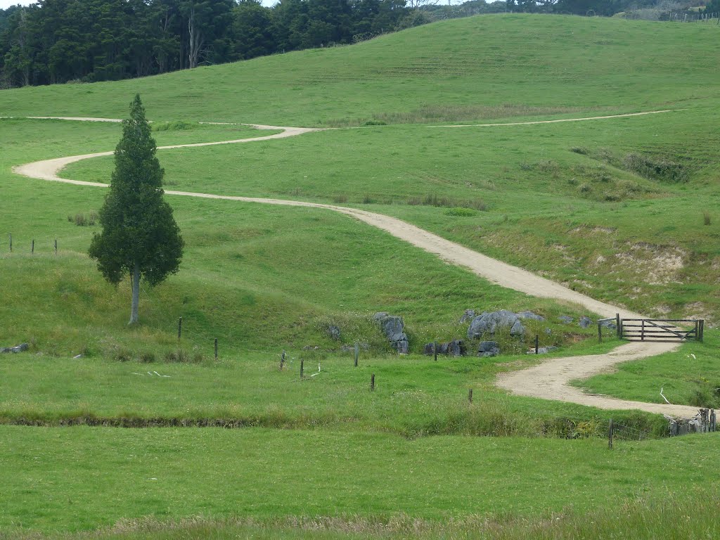
Photos of Ngaere


Ngaere Weather

Predicción: Scattered clouds
Temperatura: 11.7°
Humedad: 87%
Hora actual: 08:39 AM
Amanece: 06:55 AM
Anochece: 05:48 PM
Motatau, New Zealand
Latitude: -35.49 // Longitude: 174.036
Photos of Motatau


Motatau Weather

Predicción: Broken clouds
Temperatura: 16.6°
Humedad: 88%
Hora actual: 12:00 PM
Amanece: 06:51 AM
Anochece: 05:54 PM


