
Distance between  Morrinsville and
  Maungaturoto
125.07 mi Straight Distance
153.92 mi Driving Distance
2 hours 41 mins Estimated Driving Time
The straight distance between Morrinsville (Waikato) and Maungaturoto (Northland) is 125.07 mi, but the driving distance is 153.92 mi.
It takes 3 hours 0 mins to go from Morrinsville to Maungaturoto.
Driving directions from Morrinsville to Maungaturoto
Distance in kilometers
Straight distance: 201.24 km. Route distance: 247.66 km
Morrinsville, New Zealand
Latitude: -37.6572 // Longitude: 175.53
Photos of Morrinsville


Morrinsville Weather

Predicción: Light rain
Temperatura: 15.9°
Humedad: 80%
Hora actual: 12:00 AM
Amanece: 06:47 PM
Anochece: 05:46 AM
Maungaturoto, New Zealand
Latitude: -36.1096 // Longitude: 174.356
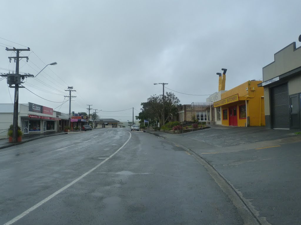
Photos of Maungaturoto

")


Maungaturoto Weather

Predicción: Overcast clouds
Temperatura: 17.2°
Humedad: 82%
Hora actual: 10:01 AM
Amanece: 06:50 AM
Anochece: 05:52 PM


