
Distance between  Meremere and
  Maromaku
138.02 mi Straight Distance
163.41 mi Driving Distance
2 hours 55 mins Estimated Driving Time
The straight distance between Meremere (Waikato) and Maromaku (Northland) is 138.02 mi, but the driving distance is 163.41 mi.
It takes to go from Meremere to Maromaku.
Driving directions from Meremere to Maromaku
Distance in kilometers
Straight distance: 222.07 km. Route distance: 262.93 km
Meremere, New Zealand
Latitude: -37.319 // Longitude: 175.069
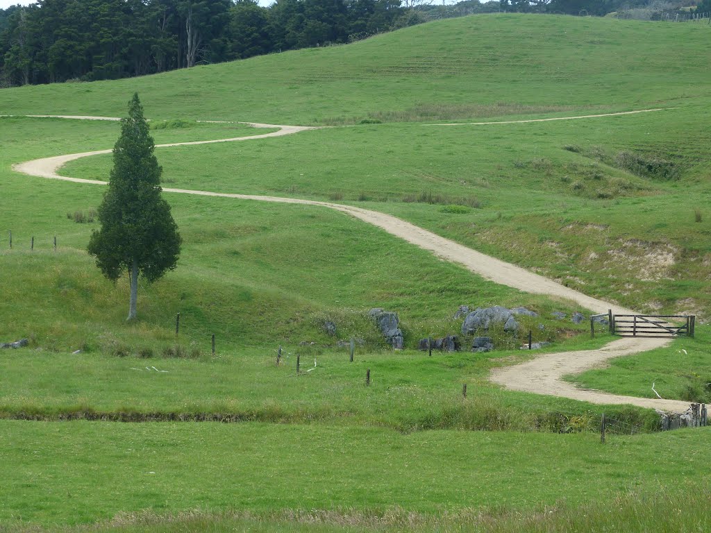
Photos of Meremere


Meremere Weather

Predicción: Moderate rain
Temperatura: 18.6°
Humedad: 67%
Hora actual: 12:00 AM
Amanece: 06:48 PM
Anochece: 05:48 AM
Maromaku, New Zealand
Latitude: -35.4813 // Longitude: 174.096
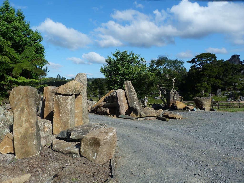
Photos of Maromaku


Maromaku Weather

Predicción: Overcast clouds
Temperatura: 21.1°
Humedad: 62%
Hora actual: 12:00 AM
Amanece: 06:50 PM
Anochece: 05:54 AM


