
Distance between  Maungaturoto and
  Koromiko
361.91 mi Straight Distance
534.18 mi Driving Distance
11 hours 44 mins Estimated Driving Time
The straight distance between Maungaturoto (Northland) and Koromiko (Marlborough) is 361.91 mi, but the driving distance is 534.18 mi.
It takes to go from Maungaturoto to Koromiko.
Driving directions from Maungaturoto to Koromiko
Distance in kilometers
Straight distance: 582.31 km. Route distance: 859.50 km
Maungaturoto, New Zealand
Latitude: -36.1096 // Longitude: 174.356
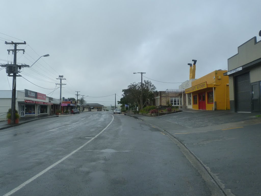
Photos of Maungaturoto

")


Maungaturoto Weather

Predicción: Clear sky
Temperatura: 15.7°
Humedad: 77%
Hora actual: 05:39 PM
Amanece: 06:48 AM
Anochece: 05:56 PM
Koromiko, New Zealand
Latitude: -41.3386 // Longitude: 173.964
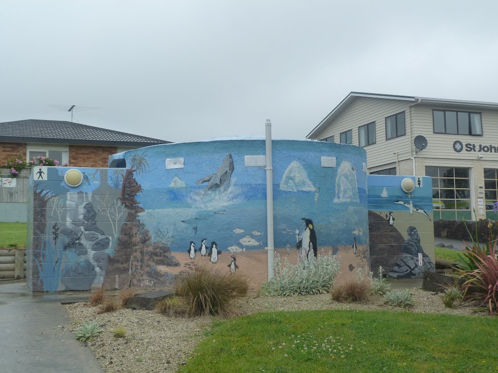
Photos of Koromiko


Koromiko Weather
Predicción: Clear sky
Temperatura: 11.9°
Humedad: 83%
Hora actual: 05:39 PM
Amanece: 06:55 AM
Anochece: 05:52 PM


