
Distance between  Maungakaramea and
  Luggate
667.64 mi Straight Distance
1,023.88 mi Driving Distance
20 hours 15 mins Estimated Driving Time
The straight distance between Maungakaramea (Northland) and Luggate (Otago) is 667.64 mi, but the driving distance is 1,023.88 mi.
It takes 23 hours 9 mins to go from Maungakaramea to Luggate.
Driving directions from Maungakaramea to Luggate
Distance in kilometers
Straight distance: 1,074.23 km. Route distance: 1,647.43 km
Maungakaramea, New Zealand
Latitude: -35.844 // Longitude: 174.204
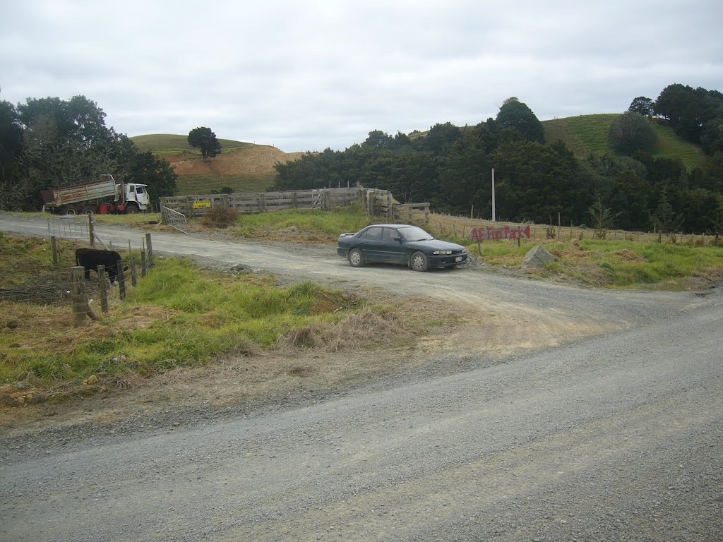
Photos of Maungakaramea

Maungakaramea Weather

Predicción: Light rain
Temperatura: 10.9°
Humedad: 100%
Hora actual: 12:00 AM
Amanece: 06:50 PM
Anochece: 05:54 AM
Luggate, New Zealand
Latitude: -44.7492 // Longitude: 169.27
Photos of Luggate


 & mountais (background), North Island, New Zealand.")


Luggate Weather

Predicción: Broken clouds
Temperatura: 7.3°
Humedad: 90%
Hora actual: 05:23 AM
Amanece: 07:22 AM
Anochece: 06:01 PM


